Alexandria Airport LA (AEX) | Terminal maps | Airport guide


Alexandria Airport LA Information
-
Airport Address:
1100 Frank Andrews Blvd, Alexandria, LA 71303,United States -
Official Website:
https://flyaex.org/ -
Contact Number:
(318) 449-3504
AEX Contact Information
-
Name:
SCOTT GAMMEL -
Address:
1611 ARNOLD DR -
Telephone:
(318) 427-6419
Alexandria Airport LA
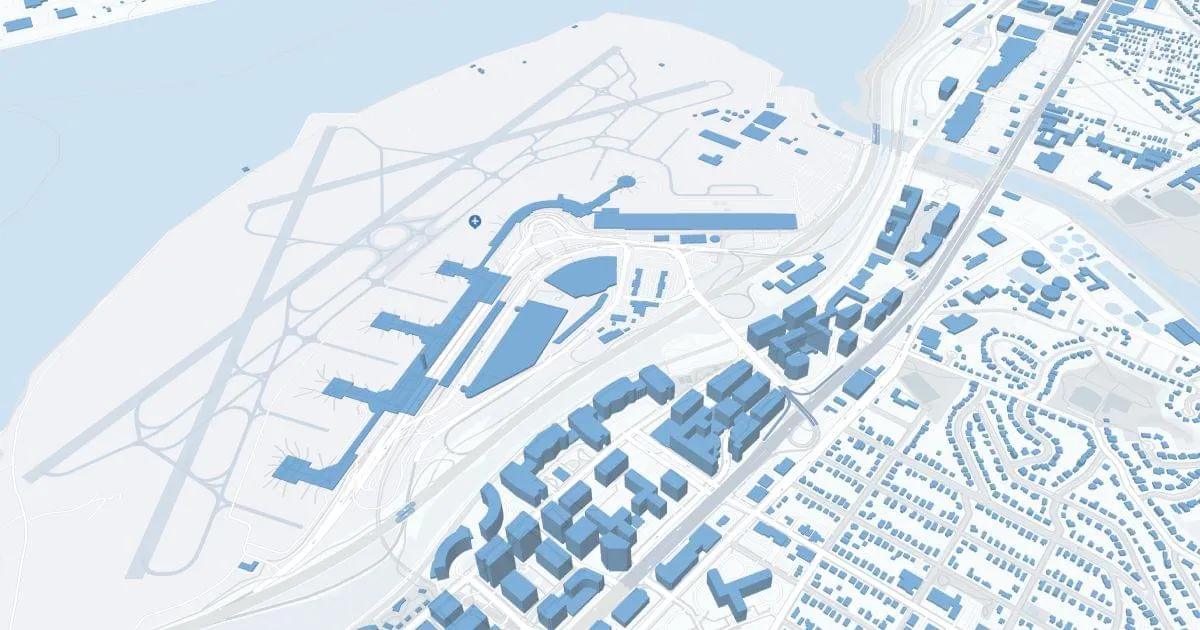
Alexandria International Airport (AEX), located in Louisiana, is a small yet significant airport serving the central region of the state. It offers a convenient and efficient gateway for both business and leisure travelers. The airport features a single terminal that is modern and well-equipped, providing a comfortable and hassle-free experience. Facilities at AEX include a range of passenger amenities such as dining options, car rental services, and a lounge area. The airport primarily handles regional flights, connecting Alexandria to major hubs and thereby facilitating wider travel connections. Its compact size and streamlined operations make it a user-friendly airport, appreciated for its ease of navigation and relaxed atmosphere.
Alexandria Airport LA Weather 07/28/2026
Weather ForecastToday
98
Patchy Fog then Sunny

Tonight
77
Mostly Clear

Wednesday
99
Hot

Wednesday Night
78
Partly Cloudy
Thursday
96
Mostly Sunny then Slight Chance T-storms
Thursday Night
77
Partly Cloudy
Friday
96
Partly Sunny then Slight Chance T-storms
Friday Night
77
Partly Cloudy
Saturday
96
Mostly Sunny then Slight Chance T-storms

Saturday Night
76
Chance T-storms

Sunday
93
Chance T-storms

Sunday Night
74
Slight Chance T-storms
Monday
95
Mostly Sunny then Chance T-storms