Greater Binghamton Airport (BGM) | Terminal maps | Airport guide


Greater Binghamton Airport Information
-
Airport Address:
2534 Airport Rd, Johnson City, NY 13790, United States -
Official Website:
http://www.flybgm.com/ -
Contact Number:
(607) 763-4471
BGM Contact Information
-
Name:
MARK HEEFNER -
Address:
2534 AIRPORT ROAD, #16 -
Telephone:
(607) 763-4471
Greater Binghamton Airport
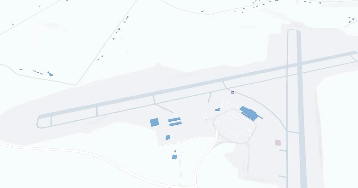
Greater Binghamton Airport (BGM), located in Broome County, New York, serves the Binghamton area as a convenient regional airport. Known for its user-friendly size and efficient operations, BGM offers a stress-free travel experience. The airport features a single terminal that efficiently handles both arrivals and departures. Commercial services are provided by airlines like Delta Air Lines, which connect Binghamton to major hubs for broader travel access. The terminal includes essential amenities such as a comfortable waiting area, car rental services, and dining options. BGM is particularly appreciated for its easy navigation and short wait times, making it a practical choice for travelers in the Southern Tier of New York.
Greater Binghamton Airport Weather 07/21/2026
Weather ForecastToday
77
Slight Chance T-storms then T-storms
Tonight
62
T-storms Likely then Chance Showers

Wednesday
71
Chance Showers

Wednesday Night
52
Partly Cloudy

Thursday
72
Sunny

Thursday Night
51
Clear
Friday
77
Sunny

Friday Night
57
Mostly Clear
Saturday
80
Sunny
Saturday Night
60
Partly Cloudy
Sunday
82
Mostly Sunny then Chance T-storms
Sunday Night
63
Chance T-storms then Chance Showers

Monday
77
Showers Likely