Hancock County-Bar Harbor Airport (BHB) | Terminal maps | Airport guide


Hancock County-Bar Harbor Airport Information
-
Airport Address:
115 Caruso Dr, Trenton, ME 04605, United States -
Official Website:
http://www.bhbairport.com/ -
Contact Number:
(207) 667-7329
BHB Contact Information
-
Name:
LEROY MUISE -
Address:
115 CARUSO DR -
Telephone:
(207) 667-7329
Hancock County-Bar Harbor Airport
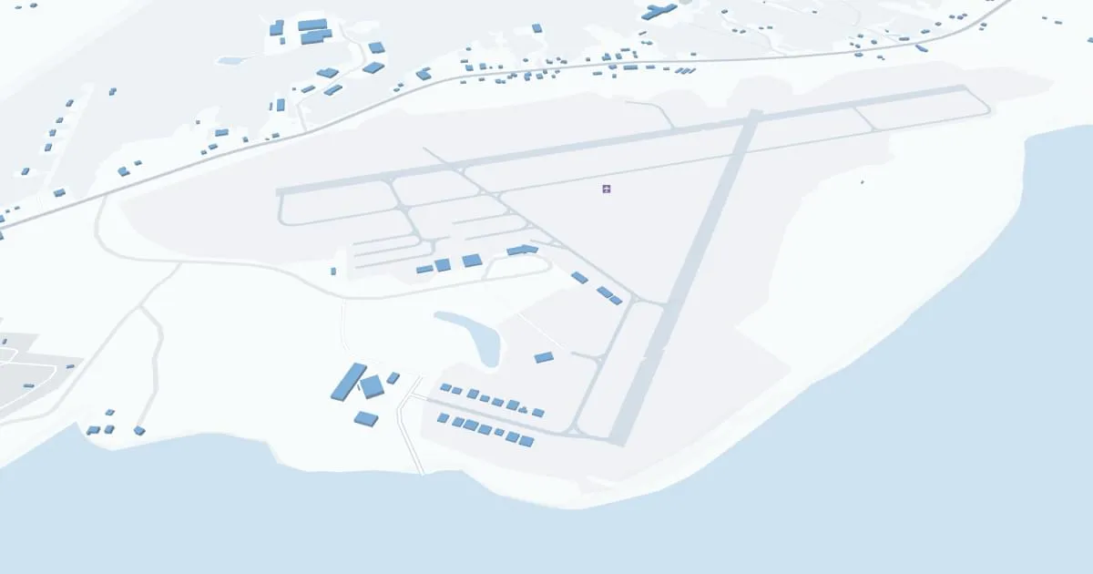
Hancock County-Bar Harbor Airport (BHB), nestled near the stunning Acadia National Park in Maine, is a key regional airport serving the Bar Harbor area. This charming airport offers a gateway to Maine's picturesque coastal and island communities. BHB operates a single terminal, providing a quaint and efficient travel experience. It primarily offers seasonal flights operated by airlines like Cape Air, connecting Bar Harbor with major destinations such as Boston. The airport's facilities, while modest, include essential passenger services like car rentals and a cozy waiting area. BHB's scenic location and relaxed atmosphere make it an appealing starting point for tourists exploring the natural beauty of coastal Maine.
Hancock County-Bar Harbor Airport Weather 07/22/2026
Weather Forecast
Tonight
61
Rain and Areas Fog
Wednesday
69
Showers Likely and Patchy Fog then Scattered Showers
Wednesday Night
58
Isolated Showers and Areas Fog then Areas Fog

Thursday
71
Mostly Sunny

Thursday Night
54
Mostly Clear

Friday
75
Sunny
Friday Night
55
Mostly Clear
Saturday
78
Sunny

Saturday Night
55
Partly Cloudy
Sunday
76
Mostly Sunny

Sunday Night
59
Mostly Cloudy
Monday
79
Partly Sunny then Slight Chance Showers

Monday Night
61
Chance Showers