McClellan-Palomar Airport (CRQ) | Terminal maps | Airport guide


McClellan-Palomar Airport Information
-
Airport Address:
2198 Palomar Airport Rd, Carlsbad, CA 92008 -
Official Website:
https://www.sandiegocounty.gov/dpw/airports/palomar.html -
Contact Number:
(760) 431-4646
CRQ Contact Information
-
Name:
OLIVIER BRACKETT -
Address:
2192 PALOMAR AIRPORT ROAD -
Telephone:
(760) 431-4646
McClellan-Palomar Airport
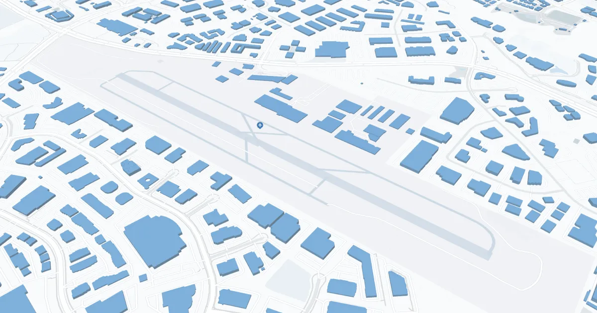
McClellan-Palomar Airport (CLD), located in Carlsbad, California, is a public airport serving the northern San Diego County region. Situated about 3 miles southeast of downtown Carlsbad, it offers convenient access to local attractions like the beautiful coastline and various business centers. Primarily catering to general aviation, CLD also provides commercial air service through Advanced Air, offering flights to destinations like Los Angeles. The airport features a single terminal with a comfortable, easy-to-navigate layout. Amenities include car rental services and a pleasant waiting area. McClellan-Palomar Airport is a preferred choice for business and leisure travelers seeking a hassle-free alternative to the busier San Diego International Airport, providing a gateway to the scenic and vibrant areas of Southern California.
McClellan-Palomar Airport Weather 08/02/2026
Weather Forecast
Overnight
68
Mostly Cloudy

Sunday
78
Mostly Sunny

Sunday Night
68
Partly Cloudy

Monday
78
Decreasing Clouds
Monday Night
68
Increasing Clouds
Tuesday
77
Decreasing Clouds
Tuesday Night
68
Increasing Clouds
Wednesday
77
Decreasing Clouds
Wednesday Night
68
Partly Cloudy
Thursday
78
Decreasing Clouds
Thursday Night
68
Mostly Cloudy
Friday
79
Decreasing Clouds
Friday Night
68
Partly Cloudy