Columbus GA Airport (CSG) | Terminal maps | Airport guide


Columbus GA Airport Information
-
Airport Address:
3250 W Britt David Rd, Columbus, GA 31909, United States -
Official Website:
http://www.flycolumbusga.com/ -
Contact Number:
(706) 324-2449
CSG Contact Information
-
Name:
AMBER CLARK, C.M. -
Address:
3250 W BRITT DAVID RD -
Telephone:
(706) 324-2449
Columbus GA Airport
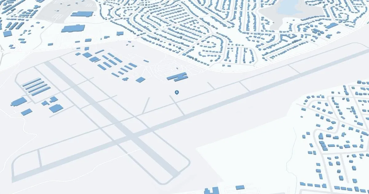
Columbus Airport (CSG), situated in Columbus, Georgia, serves as a key regional airport for the Chattahoochee Valley area. Located approximately 4 miles northeast of downtown Columbus, it offers convenient access to the city and nearby military base, Fort Benning. CSG is primarily served by Delta Connection, with regular flights to Hartsfield-Jackson Atlanta International Airport. This connection provides travelers with access to a vast network of national and international destinations. The airport features a single, easy-to-navigate terminal, designed for a quick and hassle-free experience. Amenities at Columbus Airport include car rental services and a comfortable waiting area, catering to both business and leisure travelers visiting this historic and culturally rich region of Georgia.
Columbus GA Airport Weather 07/24/2026
Weather Forecast
This Afternoon
94
Chance T-storms
Tonight
76
Chance T-storms then Partly Cloudy
Saturday
91
Mostly Sunny then Chance T-storms
Saturday Night
75
Partly Cloudy then Chance Showers
Sunday
93
Chance Showers then Chance T-storms
Sunday Night
76
Chance T-storms then Mostly Clear

Monday
97
Hot

Monday Night
77
Mostly Clear
Tuesday
98
Sunny then Slight Chance T-storms

Tuesday Night
78
Slight Chance T-storms
Wednesday
98
Sunny then Slight Chance T-storms
Wednesday Night
76
Slight Chance T-storms
Thursday
96
Sunny then Slight Chance T-storms