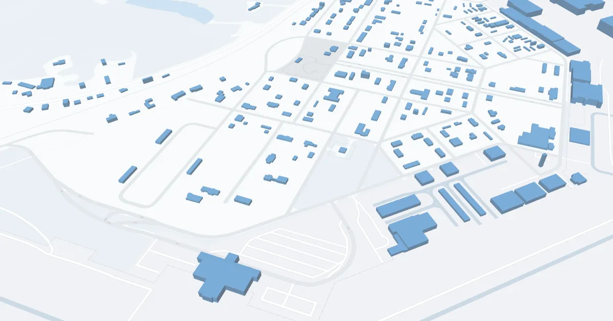
Dothan Airport (DHN) | Terminal maps | Airport guide


Dothan Airport Information
-
Airport Address:
800 Airport Dr, Dothan, AL, United States -
Official Website:
http://www.flydothan.com/ -
Contact Number:
(334) 983-8100
DHN Contact Information
-
Name:
ADAM HARTZOG -
Address:
800 ARPT DR SUITE 15 -
Telephone:
(334) 983-8100
Dothan Airport
Dothan Regional Airport (DHN), located in southeast Alabama, serves as a critical link for Dothan residents and businesses to major transportation networks across the country.
DHN is currently served exclusively by Delta Air Lines through its partner Delta Connection, which offers direct flights to Hartsfield-Jackson Atlanta International Airport (ATL). This connection provides passengers access to a multitude of domestic and international destinations through Delta's extensive global network.
The airport features a single terminal that prioritizes ease of use and passenger comfort. In this terminal, travelers can take advantage of basic amenities designed to make their journey more comfortable, including a convenient waiting area, car rental services for convenient ground transportation and free Wi-Fi to stay connected. In addition, DHN has a parking lot located in close proximity to the terminal, enhancing the overall travel experience.
While Dothan Regional may not boast the same amenities as larger airports, its efficient operations and attention to customer service ensure a convenient and enjoyable start or end to any trip.
Dothan Airport Weather 08/02/2026
Weather Forecast
Overnight
75
Chance Showers

Sunday
88
Showers

Sunday Night
72
Chance Showers
Monday
89
Mostly Sunny then Slight Chance T-storms
Monday Night
72
Slight Chance T-storms then Mostly Clear
Tuesday
91
Sunny then Chance T-storms

Tuesday Night
73
Mostly Clear
Wednesday
91
Sunny then Slight Chance T-storms
Wednesday Night
73
Mostly Clear
Thursday
92
Sunny then Chance T-storms

Thursday Night
73
Slight Chance T-storms

Friday
92
Chance T-storms

Friday Night
73
Partly Cloudy