East Texas Airport (GGG) | Terminal maps | Airport guide


East Texas Airport Information
-
Airport Address:
269 Terminal Cir, Longview, TX 75603, United States -
Official Website:
http://www.flyggg.com/ -
Contact Number:
(903) 643-3031
GGG Contact Information
-
Name:
ROY H. MILLER AAE -
Address:
269 TERMINAL CIRCLE -
Telephone:
(903) 643-3031
East Texas Airport
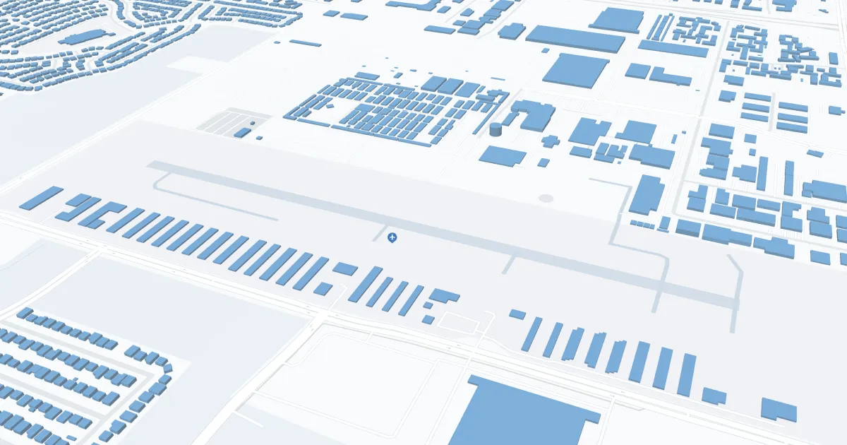
East Texas Regional Airport (GGG), located in the heart of East Texas near Longview, is a critical hub for travelers in the region. This airport is served by American Eagle Airlines, providing direct flights to Dallas/Fort Worth International Airport (DFW), thereby offering passengers seamless connectivity to a wide range of national and international destinations. The GGG airport terminal is designed for passenger convenience and offers amenities such as car rental services to explore East Texas, a comfortable waiting area for passengers, and free Wi-Fi to stay connected. In addition, the airport boasts a spacious parking lot located just outside the terminal, providing convenient access for both arriving and departing passengers. With its strategic location and essential services, the East Texas Regional Airport plays a critical role in connecting the local community to the global network.
East Texas Airport Weather 08/02/2026
Weather Forecast
Today
95
Hot

Tonight
71
Clear
Monday
98
Hot
Monday Night
74
Clear
Tuesday
99
Hot

Tuesday Night
76
Mostly Clear
Wednesday
97
Hot
Wednesday Night
75
Mostly Clear
Thursday
97
Hot
Thursday Night
75
Mostly Clear
Friday
96
Hot

Friday Night
75
Slight Chance T-storms
Saturday
97
Hot