Boone County Airport (HRO) | Terminal maps | Airport guide


Boone County Airport Information
-
Airport Address:
2524 Airport Rd, Harrison, AR 72601, United States -
Official Website:
http://www.boonecountyairport.com/ -
Contact Number:
(870) 741-6954
HRO Contact Information
-
Name:
JUDY MC CUTCHEON -
Address:
PO BOX 1114 -
Telephone:
(870) 741-6954
Boone County Airport
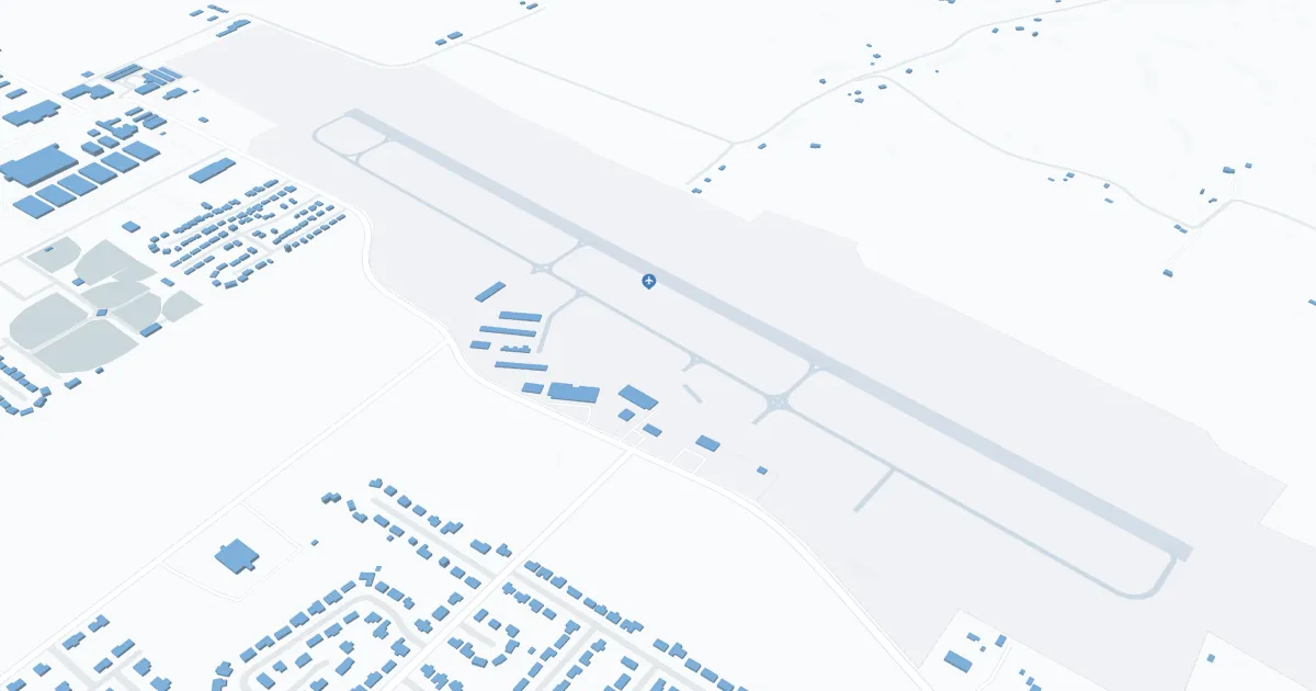
Boone County Airport (HRO), located in Harrison, Arkansas, serves as a critical connection point for the region. It is primarily served by Southern Airways Express, offering direct flights to Dallas/Fort Worth and Memphis, facilitating access to major national and international networks. The terminal provides basic amenities including parking, car rental services to explore the region and cab service. The HRO plays an important role for travelers by offering convenient access to the Ozarks, supporting local tourism and providing an important link for business travel, thereby contributing to the economic development of Boone County and the surrounding area.
Boone County Airport Weather 07/25/2026
Weather Forecast
This Afternoon
93
Mostly Sunny

Tonight
76
Partly Cloudy

Sunday
98
Hot

Sunday Night
76
Mostly Clear
Monday
98
Hot
Monday Night
76
Mostly Clear
Tuesday
99
Hot
Tuesday Night
75
Partly Cloudy

Wednesday
94
Slight Chance T-storms
Wednesday Night
72
Partly Cloudy
Thursday
93
Mostly Sunny
Thursday Night
72
Partly Cloudy then Slight Chance T-storms

Friday
91
Chance Showers