Barnstable Airport (HYA) | Terminal maps | Airport guide


Barnstable Airport Information
-
Airport Address:
480 Barnstable Rd, Hyannis, MA 02601, United States -
Official Website:
http://www.town.barnstable.ma.us/airport/ -
Contact Number:
(508) 775-2020
HYA Contact Information
-
Name:
KATIE RILEY SERVIS -
Address:
480 BARNSTABLE RD -
Telephone:
(508) 775-2020
Barnstable Airport
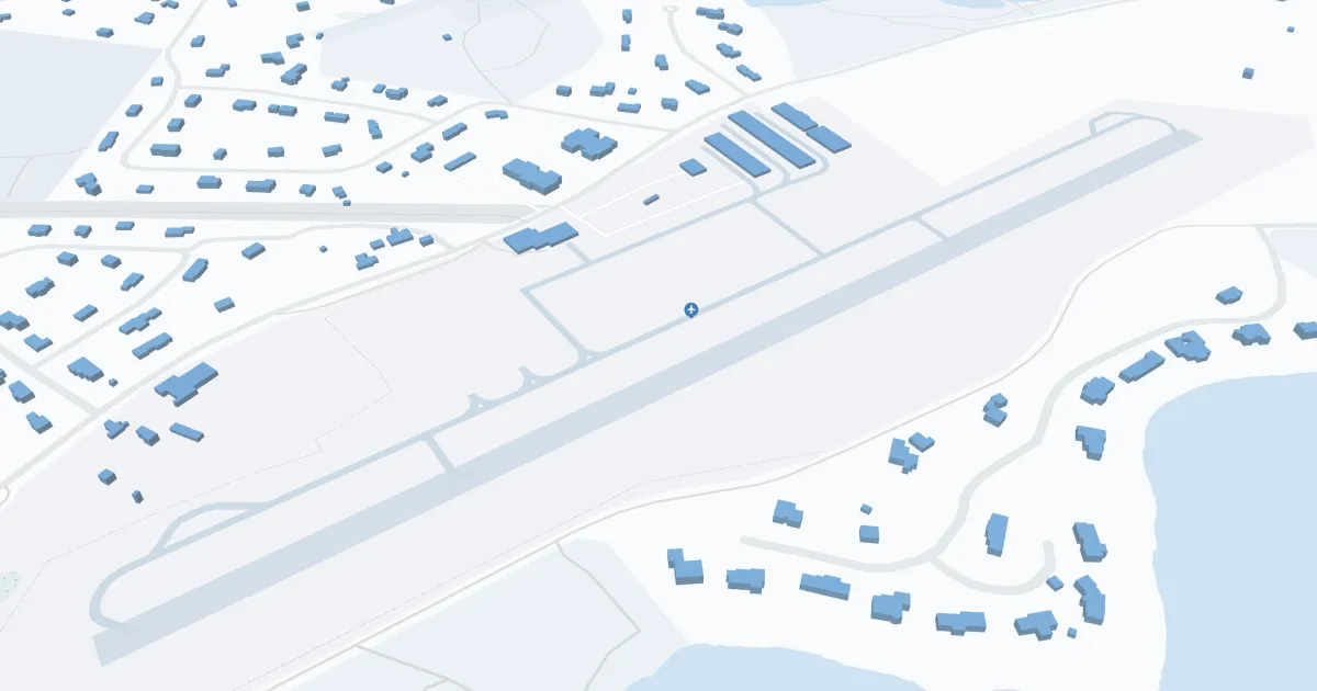
Barnstable Municipal-Boardman/Polando Field (HYA), located in Hyannis, Massachusetts, is a key airport serving Cape Cod and the surrounding area. It is primarily served by Cape Air, as well as seasonal JetBlue flights. The airport offers direct flights to key destinations such as Boston, New York and Nantucket, making it easy to access this iconic vacation region. The HYA terminal is equipped with all the necessary amenities to ensure a seamless passenger journey, including convenient parking, car rental services to explore scenic Cape Cod and easily accessible cab services for local transportation. HYA plays a critical role in promoting regional tourism by providing an affordable entrance for visitors and supporting the local economy, making it an indispensable asset for travelers heading to or from Cape Cod.
Barnstable Airport Weather 07/29/2026
Weather ForecastToday
75
Chance Showers then Showers Likely and Patchy Fog

Tonight
66
Heavy Rain and Patchy Fog

Thursday
75
Chance Showers and Patchy Fog

Thursday Night
64
Chance Showers

Friday
69
Mostly Cloudy

Friday Night
64
Partly Cloudy

Saturday
78
Mostly Sunny

Saturday Night
68
Mostly Cloudy
Sunday
79
Partly Sunny
Sunday Night
69
Mostly Cloudy
Monday
80
Chance Showers then Partly Sunny
Monday Night
69
Mostly Cloudy
Tuesday
78
Mostly Sunny