Long Island MacArthur Airport (ISP) | Terminal maps | Airport guide


Long Island MacArthur Airport Information
-
Airport Address:
Long Island MacArthur Airport 100 Arrival Ave Ronkonkoma, NY 11779, united state -
Official Website:
https://www.flymacarthur.com/ -
Contact Number:
(631) 467-3300
ISP Contact Information
-
Name:
SHELLEY LAROSE-ARKEN -
Address:
100 ARRIVAL AVE -
Telephone:
(631) 467-3300
Long Island MacArthur Airport
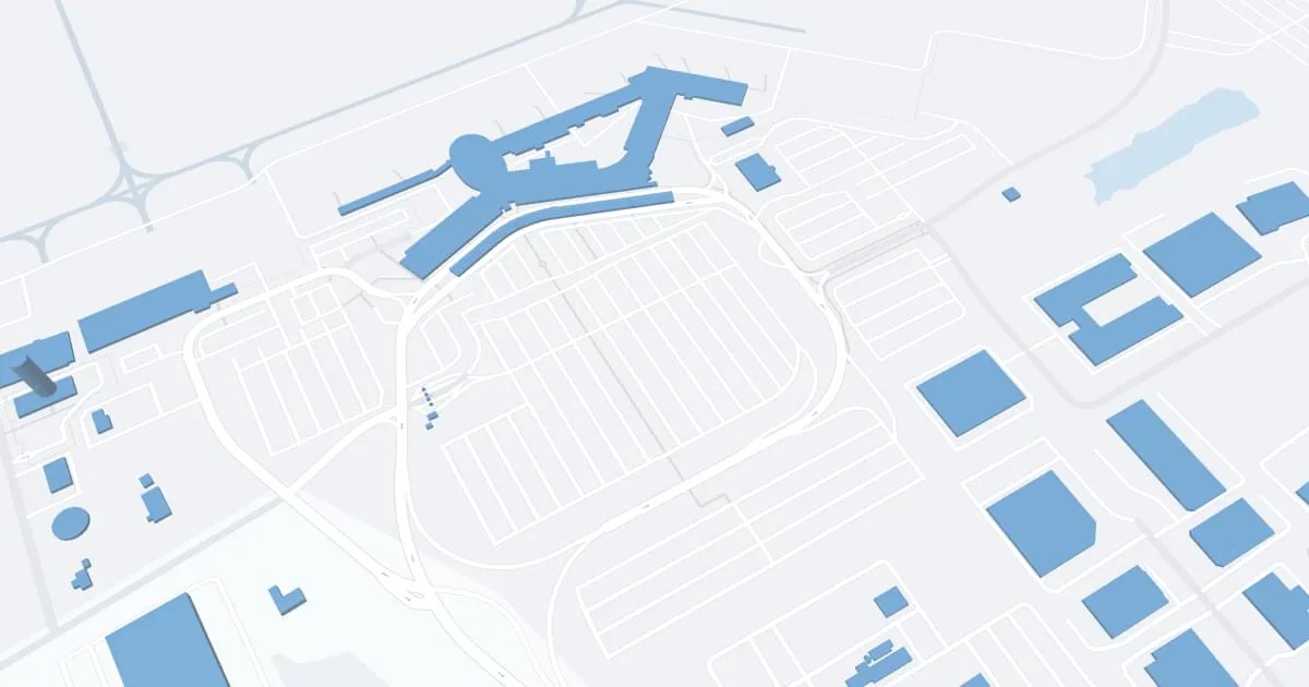
Long Island MacArthur Airport (ISP), located in Ronkonkoma, NY, is a convenient alternative to the busier New York City airports. Served by airlines such as Southwest, Frontier, and American Airlines, ISP provides direct flights to destinations such as Baltimore, Orlando, Fort Lauderdale, and more. The terminal boasts amenities such as parking, car rentals, and cab services. ISP is essential for travelers seeking easier access and shorter lines. It supports local tourism and business by connecting Long Island to key U.S. cities, thereby strengthening the regional economy and enhancing the convenience of travel.
Long Island MacArthur Airport Weather 07/31/2026
Weather Forecast
This Afternoon
80
Slight Chance T-storms
Tonight
69
Partly Cloudy then Patchy Fog
Saturday
84
Patchy Fog then Partly Sunny

Saturday Night
70
Mostly Cloudy

Sunday
82
Partly Sunny
Sunday Night
71
Chance Showers then Showers

Monday
82
Heavy Rain

Monday Night
69
Heavy Rain

Tuesday
82
Showers Likely
Tuesday Night
68
Mostly Cloudy then Chance Showers
Wednesday
83
Chance Showers then Mostly Sunny
Wednesday Night
70
Partly Cloudy then Chance Showers

Thursday
84
Chance Showers