Lynchburg Airport (LYH) | Terminal maps | Airport guide


Lynchburg Airport Information
-
Airport Address:
350 Terminal Dr, Lynchburg, VA 24502, United States -
Official Website:
http://www.lynchburgva.gov/airport -
Contact Number:
(434) 455-6090
LYH Contact Information
-
Name:
ANDREW LAGALA -
Address:
350 TERMINAL DRIVE, SUITE 100 -
Telephone:
(434) 455-6089
Lynchburg Airport
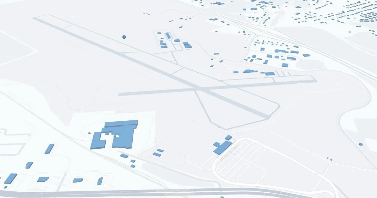
Lynchburg/Preston Glenn Field Regional Airport (LYH), located in Lynchburg, Virginia, is primarily served by American Airlines offering direct flights to Charlotte, allowing passengers to reach an extensive network of national and international destinations. The terminal has all the necessary amenities including parking, rental cars for exploring the region and cabs for local transportation.
LYH is vital to travelers, enhances the region's accessibility, supports local tourism and businesses, and provides a convenient travel option for Central Virginia residents and visitors.
Lynchburg Airport Weather 07/29/2026
Weather Forecast
Tonight
66
Clear

Wednesday
84
Sunny
Wednesday Night
61
Clear
Thursday
85
Sunny

Thursday Night
62
Mostly Clear
Friday
86
Sunny

Friday Night
67
Partly Cloudy

Saturday
85
Partly Sunny

Saturday Night
68
Chance Showers
Sunday
81
Chance Showers then Showers Likely

Sunday Night
69
Showers Likely
Monday
81
Chance Showers then Chance T-storms
Monday Night
69
Chance T-storms then Chance Showers