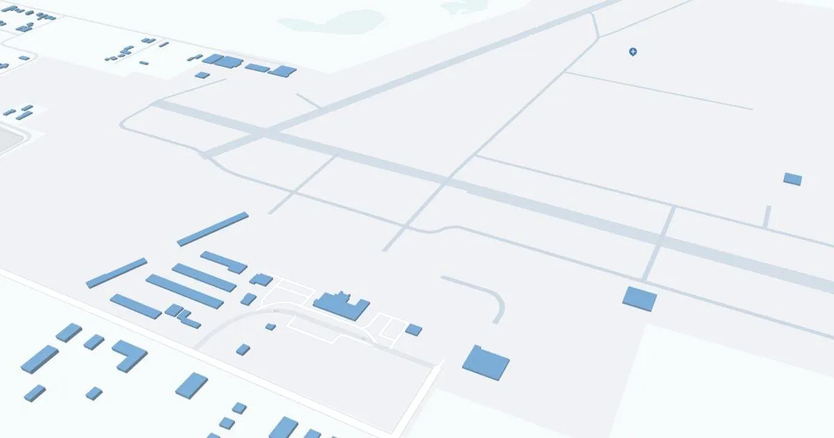
Northwest Alabama Airport (MSL) | Terminal maps | Airport guide


Northwest Alabama Airport Information
-
Airport Address:
1729 T Ed Campbell Dr Muscle Shoals, AL 35661 United States -
Official Website:
http://www.flytheshoals.com/ -
Contact Number:
(256) 383-2270
MSL Contact Information
-
Name:
BARRY GRIFFITH -
Address:
1729 T. ED CAMPBELL DR SUITE A -
Telephone:
(256) 383-2270
Northwest Alabama Airport

Northwest Alabama Regional Airport (MSL), located in Muscle Shoals, Alabama, is a critical gateway to the northwest region of the state, offering unique access to the cultural and historical richness of the region, including the famous Muscle Shoals music scene. The airport is served by Boutique Air, providing direct flights to Nashville, from where passengers are connected to a wider network of destinations. The MSL airport terminal offers basic amenities including parking, car rental services to explore the region and cab services. MSL plays an important role in regional connectivity by supporting local tourism, business travel and providing vital air service to residents and visitors, thereby contributing to the economic development of the Muscle Shoals area.
Northwest Alabama Airport Weather 12/19/2025
Weather ForecastOvernight
33
Mostly Clear
Friday
48
Sunny
Friday Night
31
Clear
Saturday
61
Sunny
Saturday Night
42
Partly Cloudy then Slight Chance Showers
Sunday
57
Mostly Sunny
Sunday Night
37
Partly Cloudy
Monday
58
Slight Chance Showers
Monday Night
48
Chance Showers
Tuesday
65
Slight Chance Showers then Partly Sunny
Tuesday Night
52
Mostly Cloudy
Wednesday
72
Partly Sunny
Wednesday Night
54
Partly Cloudy


