Martha's Vineyard Airport (MVY) | Terminal maps | Airport guide


Martha's Vineyard Airport Information
-
Airport Address:
71 Airport Rd, West Tisbury, MA 02568, United States -
Official Website:
http://www.mvyairport.com/ -
Contact Number:
(508) 693-7022
MVY Contact Information
-
Name:
CINDI MARTIN -
Address:
71 AIRPORT ROAD, 71 AIRPORT ROAD -
Telephone:
(508) 693-7022
Martha's Vineyard Airport
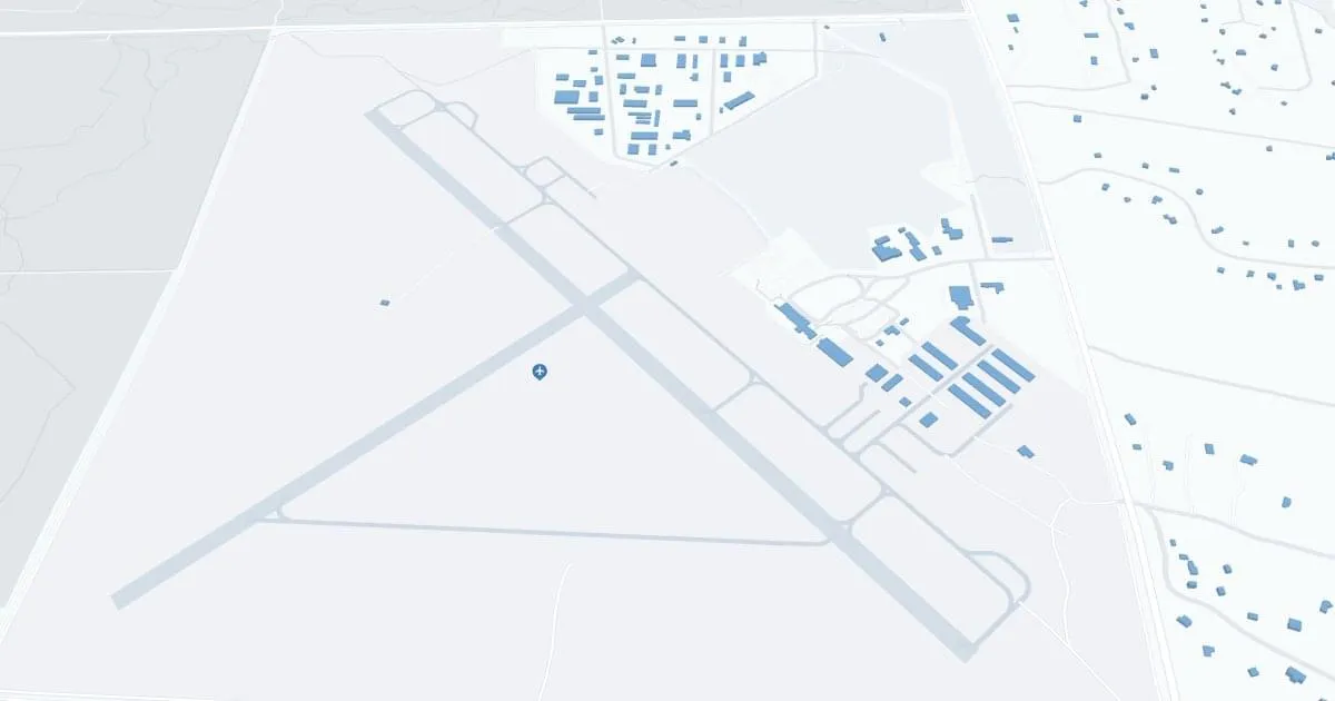
Martha's Vineyard Airport (MVY), located in the heart of scenic Martha's Vineyard Island, Massachusetts, serves as a critical access point for travelers and residents alike, paving the way for this idyllic summer destination. During peak seasons, the airport is served by airlines such as Cape Air, JetBlue and American Airlines, providing direct flights to and from major cities such as Boston, New York and Washington, D.C., as well as seamless connections to the wider national and international networks.
The MVY terminal is equipped with all the necessary amenities designed to provide passengers with a comfortable travel experience. These include parking, car rentals to explore the island's charming cities and beautiful scenery, and cab services for convenient local transportation. Additional features include restaurants and free Wi-Fi, catering to the needs of both leisure and business travelers.
The Martha's Vineyard Airport plays a key role in supporting the island's tourism industry, making it accessible to visitors seeking to visit its pristine beaches, historic lighthouses and vibrant cultural scene. MVY's strategic location and wide range of services make it an indispensable hub for seasonal and year-round travel, improving connectivity to the island and contributing to its economic vitality.
Martha's Vineyard Airport Weather 07/31/2026
Weather ForecastTonight
62
Partly Cloudy then Patchy Fog
Saturday
80
Patchy Fog then Mostly Sunny

Saturday Night
63
Patchy Fog

Sunday
80
Mostly Sunny
Sunday Night
68
Mostly Cloudy then Chance Showers

Monday
80
Showers Likely
Monday Night
67
Chance T-storms then Showers Likely

Tuesday
80
Chance Showers

Tuesday Night
66
Chance Showers
Wednesday
81
Chance Showers then Mostly Sunny

Wednesday Night
68
Partly Cloudy
Thursday
80
Mostly Sunny
Thursday Night
69
Partly Cloudy