Grant County Airport (MWH) | Terminal maps | Airport guide


Grant County Airport Information
-
Airport Address:
7810 Andrews St NE #200, Moses Lake, WA 98837, United States -
Official Website:
https://www.portofmoseslake.com/ -
Contact Number:
(509) 762-5363
MWH Contact Information
-
Name:
RICH MUELLER -
Address:
7810 ANDREWS STREET NE -
Telephone:
(509) 762-5363
Grant County Airport
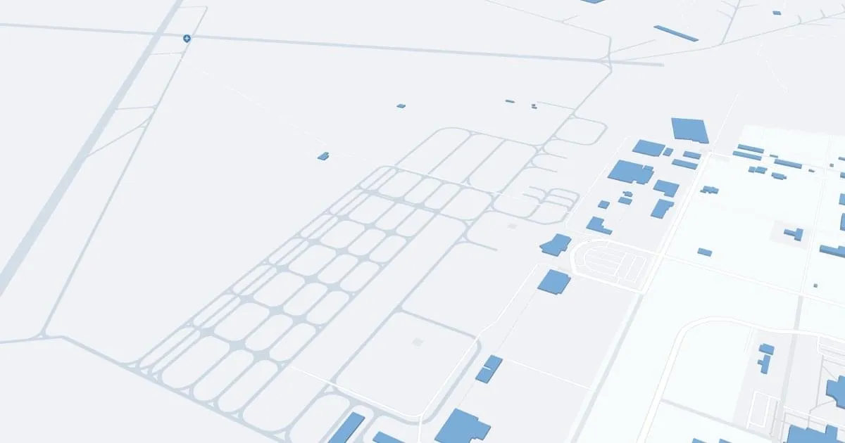
Grant County International Airport (MWH), located in Moses Lake, Washington, is an important transportation hub known for its extensive runway system and diverse aviation activities including cargo operations, flight training, and aircraft testing. Although primarily focused on general aviation and military training, the airport is capable of accommodating commercial flights and has done so in the past.
The airport offers essential amenities such as parking and nearby car rental services, making it convenient for travelers and aviation professionals.
With its strategic location and diverse infrastructure, MWH Airport plays an important role in regional transportation, economic development, and serves as a key training ground for pilots, highlighting its importance beyond commercial passenger traffic.
Grant County Airport Weather 07/17/2026
Weather Forecast
Today
94
Patchy Smoke

Tonight
59
Mostly Clear

Saturday
92
Sunny
Saturday Night
58
Mostly Clear
Sunday
92
Sunny

Sunday Night
61
Partly Cloudy

Monday
96
Hot

Monday Night
68
Mostly Cloudy
Tuesday
99
Hot
Tuesday Night
69
Partly Cloudy
Wednesday
99
Hot
Wednesday Night
69
Partly Cloudy
Thursday
99
Hot