McCall Airport (MYL) | Terminal maps | Airport guide


McCall Airport Information
-
Airport Address:
336 Deinhard Ln, McCall, ID 83638, United States -
Official Website:
http://www.mccall.id.us/departments/airport/airport.html -
Contact Number:
(208) 634-1488
MYL Contact Information
-
Name:
RICK STEIN -
Address:
216 E PARK -
Telephone:
(208) 634-1488
McCall Airport
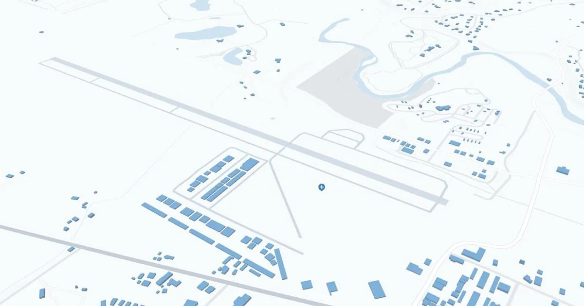
McCall Municipal Airport (MYL), located in the picturesque mountain town of McCall, Idaho, serves as a critical link to scenic Payette Lake and the surrounding ski resorts and wilderness.
The airport primarily serves general aviation. MYL is a hub for private, charter and recreational flights, facilitating access to Idaho's outdoor recreation activities such as skiing, hiking and boating.
The airport offers amenities such as parking and nearby car rental services, allowing visitors to explore the natural beauty of the region.
The McCall Municipal Airport plays a critical role in promoting tourism, supporting local businesses, and providing essential transportation services, making it an indispensable asset for residents and outdoor enthusiasts.
McCall Airport Weather 08/02/2026
Weather Forecast
Overnight
43
Patchy Smoke

Sunday
76
Patchy Smoke
Sunday Night
38
Patchy Smoke then Mostly Clear
Monday
76
Sunny then Patchy Smoke
Monday Night
40
Patchy Smoke

Tuesday
80
Sunny

Tuesday Night
44
Mostly Clear

Wednesday
87
Sunny
Wednesday Night
50
Mostly Clear

Thursday
91
Hot
Thursday Night
53
Mostly Clear
Friday
90
Hot
Friday Night
52
Mostly Clear