Oxnard Airport (OXR) | Terminal maps | Airport guide


Oxnard Airport Information
-
Airport Address:
2889 W 5th St, Oxnard, CA 93030, United States -
Official Website:
http://www.iflyoxnard.com/ -
Contact Number:
(805) 382-3022
OXR Contact Information
-
Name:
KIP TURNER -
Address:
2889 W 5TH ST -
Telephone:
(805) 388-4372
Oxnard Airport
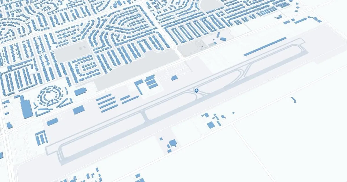
Oxnard Airport (OXR), located in Oxnard, California, serves as a key aviation gateway to Ventura County, offering a convenient alternative to the bustling Los Angeles and Burbank airports. Serving primarily general aviation, OXR's strategic location makes it an important asset for private pilots, charter flights, and aviation-related businesses. Despite limited commercial air service, the airport's presence is vital to the local economy, supporting agricultural operations, business travel, and emergency services. Amenities include parking, rental cars, and cabs, providing accessibility for travelers. OXR's role in fostering regional connectivity and supporting the diverse needs of Ventura County emphasizes its importance to the community and Southern California's aviation network.
Oxnard Airport Weather 07/23/2026
Weather Forecast
Tonight
65
Mostly Clear

Thursday
78
Sunny
Thursday Night
66
Mostly Clear

Friday
79
Increasing Clouds

Friday Night
67
Mostly Cloudy
Saturday
78
Sunny
Saturday Night
68
Mostly Clear

Sunday
78
Mostly Sunny

Sunday Night
67
Partly Cloudy
Monday
75
Mostly Sunny
Monday Night
66
Partly Cloudy
Tuesday
75
Mostly Sunny
Tuesday Night
65
Partly Cloudy