Greater Rochester Airport (ROC) | Terminal maps | Airport guide


Greater Rochester Airport Information
-
Airport Address:
1200 Brooks Ave, Rochester, NY 14624, United States -
Official Website:
https://rocairport.com/ -
Contact Number:
(585) 753-7000
ROC Contact Information
-
Name:
ANDREW MOORE -
Address:
1200 BROOKS AVE -
Telephone:
(585) 753-7056
Greater Rochester Airport
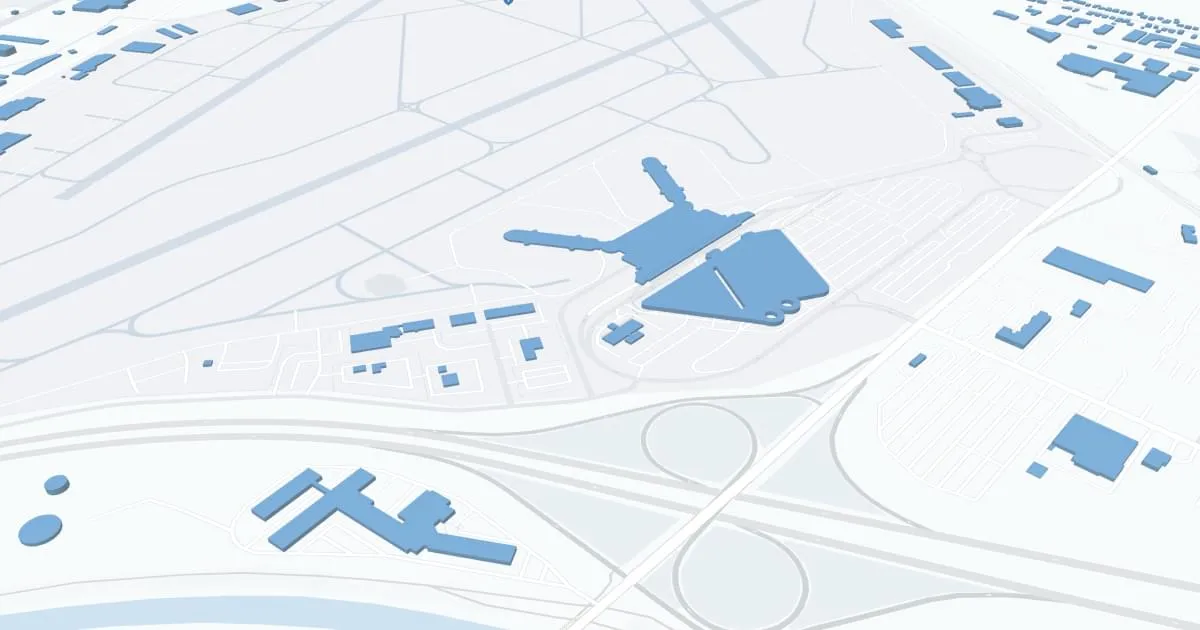
The Greater Rochester International Airport (ROC), located in Rochester, New York, is a key transportation hub for the Finger Lakes region, providing vital connections to domestic and international destinations.
The airport is served by major airlines including American Airlines, Delta Air Lines, Southwest Airlines, United Airlines and JetBlue Airways, providing direct flights to major cities such as New York, Atlanta, Chicago and Orlando. This extensive network facilitates business, education and leisure travel, making ROC a critical gateway for area residents and visitors.
The airport features modern amenities designed to enhance the passenger experience, including ample parking, a streamlined security process, car rental services, and efficient cab and ride-sharing options for convenient ground transportation. Inside the airport, travelers can enjoy a variety of restaurants and stores, free Wi-Fi, and comfortable waiting areas.
The Greater Rochester International Airport plays a key role in supporting the local economy, boosting tourism and providing an irreplaceable connection to the global travel network, thereby making a significant contribution to Rochester and the surrounding area.
Greater Rochester Airport Weather 08/03/2026
Weather Forecast
Overnight
64
Chance Showers
Monday
76
Chance Showers then Slight Chance Showers

Monday Night
57
Mostly Clear

Tuesday
81
Sunny
Tuesday Night
61
Mostly Clear

Wednesday
85
Mostly Sunny
Wednesday Night
67
Partly Cloudy then Chance T-storms
Thursday
84
Chance T-storms then Showers Likely
Thursday Night
66
Showers Likely then Chance Showers

Friday
82
Showers Likely
Friday Night
65
Showers Likely then Chance Showers

Saturday
84
Partly Sunny

Saturday Night
66
Partly Cloudy