Tunica Airport (UTA) | Terminal maps | Airport guide


Tunica Airport Information
-
Airport Address:
209 S Airport Blvd, Tunica, MS 38676, United States -
Official Website:
https://tunicaairport.com/ -
Contact Number:
(662) 357-7320
UTA Contact Information
-
Name:
ERIC KONUPKA, C.M. -
Address:
PO BOX 158 -
Telephone:
(662) 357-7320
Tunica Airport
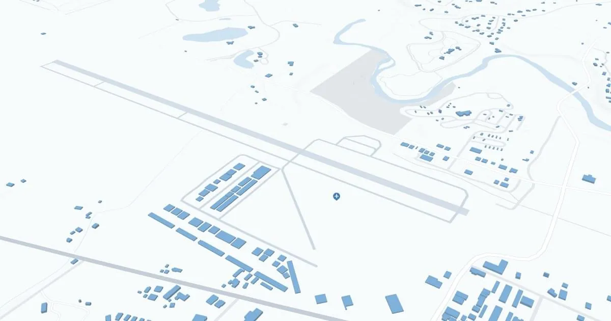
Tunica Municipal Airport (UTA), located in Tunica, Mississippi, is a key gateway to the Mississippi Delta region, known for its rich cultural heritage and as a major destination for casino and entertainment tourism.
Serving primarily general aviation, the UTA Airport also facilitates access for visitors coming to enjoy the many casinos, live music events and historic blues music scene.
The airport plays an important role in supporting the local economy by providing convenient connections for tourists and business travelers alike.
UTA's amenities include parking, car rental services and a welcoming terminal building, providing comfort and convenience for all travelers.
Tunica Municipal Airport's strategic location and services make it a vital asset for tourism and economic development in the Tunica area.
Tunica Airport Weather 07/24/2026
Weather Forecast
This Afternoon
84
Chance T-storms
Tonight
75
Mostly Cloudy then Slight Chance T-storms

Saturday
94
Heavy Rain

Saturday Night
76
Heavy Rain
Sunday
97
Slight Chance Showers then Slight Chance T-storms

Sunday Night
76
Mostly Clear

Monday
100
Hot
Monday Night
78
Mostly Clear
Tuesday
102
Hot
Tuesday Night
78
Mostly Clear
Wednesday
99
Hot
Wednesday Night
77
Mostly Clear
Thursday
99
Hot