Valdosta Airport (VLD) | Terminal maps | Airport guide


Valdosta Airport Information
-
Airport Address:
1750 Airport Rd, Valdosta, GA 31601, United States -
Official Website:
http://www.flyvaldosta.com/ -
Contact Number:
(229) 333-1833
VLD Contact Information
-
Name:
JIM GALLOWAY -
Address:
1750 AIRPORT ROAD -
Telephone:
(229) 333-1833
Valdosta Airport
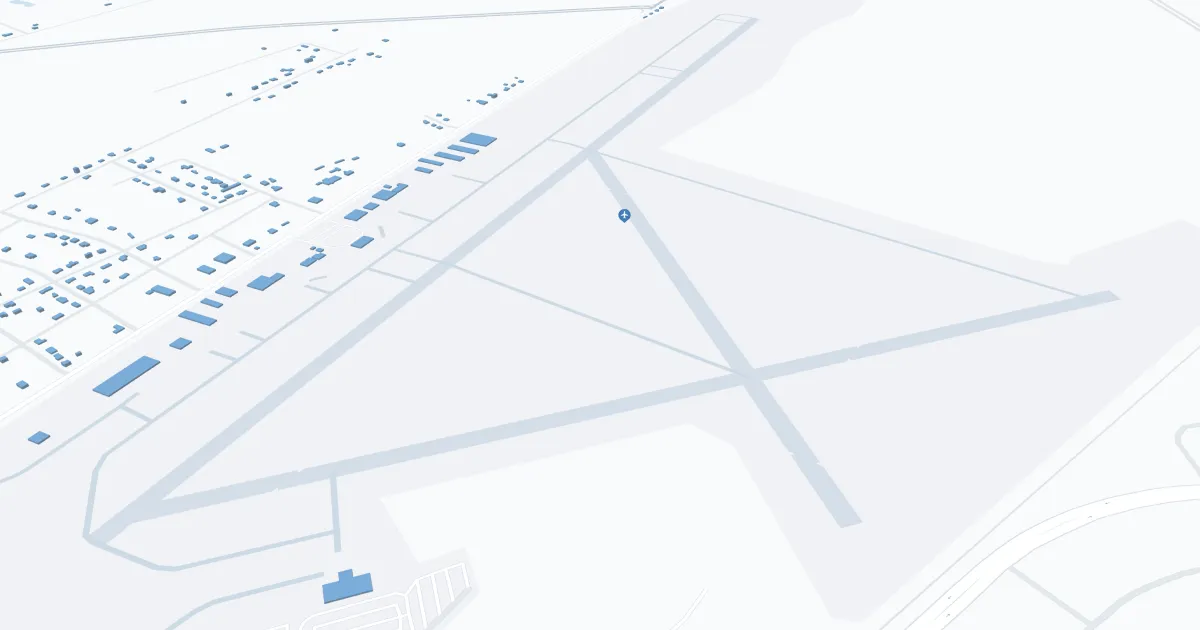
Valdosta Regional Airport (VLD), located in the heart of South Georgia, serves as the most important air service for Valdosta and surrounding areas, opening up access to this vibrant region. Served primarily by Delta Connection airlines, VLD provides direct flights to Atlanta, allowing for seamless access to national and international destinations. This connection is vital to local businesses, tourism and residents, enhancing the region's accessibility and economic development.
Airport amenities include parking, car rental services, and a passenger-friendly terminal that provides a comfortable travel experience.
Valdosta Regional Airport plays a key role in the community, supporting regional growth and making Valdosta more accessible to the world.
Valdosta Airport Weather 07/26/2026
Weather Forecast
This Afternoon
96
Chance Showers
Tonight
75
Chance Showers then Slight Chance T-storms

Monday
99
Slight Chance T-storms
Monday Night
77
Slight Chance T-storms then Partly Cloudy

Tuesday
100
Hot

Tuesday Night
79
Partly Cloudy
Wednesday
97
Mostly Sunny then T-storms Likely
Wednesday Night
76
T-storms Likely then Showers Likely

Thursday
94
Chance T-storms

Thursday Night
74
Chance T-storms
Friday
95
Sunny then Chance T-storms
Friday Night
74
Chance T-storms
Saturday
92
Chance Showers then Chance T-storms