(WRL) | Terminal maps | Airport guide


Information
-
Airport Address:
1472 Airport Rd, Worland, WY 82401 -
Official Website:
https://cityofworland.org/airport -
Contact Number:
(307) 347-8977
WRL Contact Information
-
Name:
LYNN MURDOCH -
Address:
1438 AIRPORT ROAD -
Telephone:
(307) 347-8977
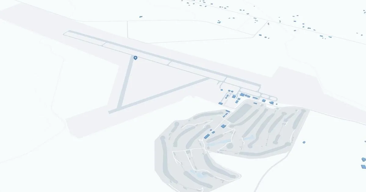
Worland Municipal Airport (WRL), located in the scenic Washakie County of Wyoming, serves as a crucial gateway for both residents and visitors to the region. Positioned near the Big Horn Basin, this airport is a hub for general aviation and offers convenient access to nearby outdoor recreational activities, including fishing, hiking, and exploring the vast open landscapes of the area. While smaller than major commercial airports, WRL remains an important connector for local communities, providing essential air services such as private and charter flights. The airport's facilities include aircraft parking, fueling, and maintenance, along with a comfortable terminal that ensures a welcoming atmosphere for travelers. WRL's strategic role in the local economy helps facilitate business, medical, and agricultural operations, making it a vital part of life in rural Wyoming.
Weather 08/02/2026
Weather Forecast
Overnight
63
Patchy Smoke

Sunday
103
Patchy Smoke
Sunday Night
61
Patchy Smoke and Breezy

Monday
82
Sunny and Breezy
Monday Night
52
Clear and Breezy then Mostly Clear

Tuesday
83
Sunny

Tuesday Night
54
Mostly Clear

Wednesday
88
Sunny
Wednesday Night
56
Mostly Clear
Thursday
94
Sunny

Thursday Night
59
Clear

Friday
98
Hot
Friday Night
61
Mostly Clear