Kalaupapa Airport (LUP) | Terminal maps | Airport guide


Kalaupapa Airport Terminal Guides
View All LUP Guides-
LUP Airport Terminal
Open Guide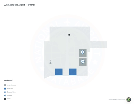
Kalaupapa Airport Information
-
Airport Address:
Kalaupapa, HI 96742, United States -
Official Website:
http://hawaii.gov/lup -
Contact Number:
(808) 838-8701
LUP Contact Information
-
Name:
MARVIN MONIZ -
Address:
KAHULUI AIRPORT -
Telephone:
(808) 872-3830
Kalaupapa Airport
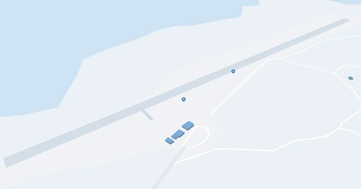
Kalaupapa Airport (LUP), located on the north coast of the island of Moloka'i, Hawai'i, serves as a critical access point to Kalaupapa National Historical Park. The airport is primarily served by Mokulele Airlines and offers direct flights to Honolulu and Kahului, facilitating connections between Hawaii. The airport has basic amenities including parking. Because of its unique location, LUP Airport is vital to travelers visiting the historic leper settlement, it supports preservation efforts and provides essential access to one of Hawaii's most secluded and significant sites.
Kalaupapa Airport Weather 08/03/2026
Weather Forecast
This Afternoon
82
Scattered Showers and Breezy

Tonight
75
Scattered Showers and Breezy

Monday
82
Scattered Showers and Breezy
Monday Night
75
Scattered Showers and Breezy
Tuesday
83
Scattered Showers and Breezy
Tuesday Night
76
Scattered Showers and Breezy
Wednesday
83
Scattered Showers and Breezy

Wednesday Night
76
Scattered Showers and Breezy
Thursday
83
Scattered Showers and Breezy
Thursday Night
76
Scattered Showers and Breezy
Friday
83
Scattered Showers and Windy
Friday Night
77
Scattered Showers and Windy
Saturday
83
Scattered Showers and Windy