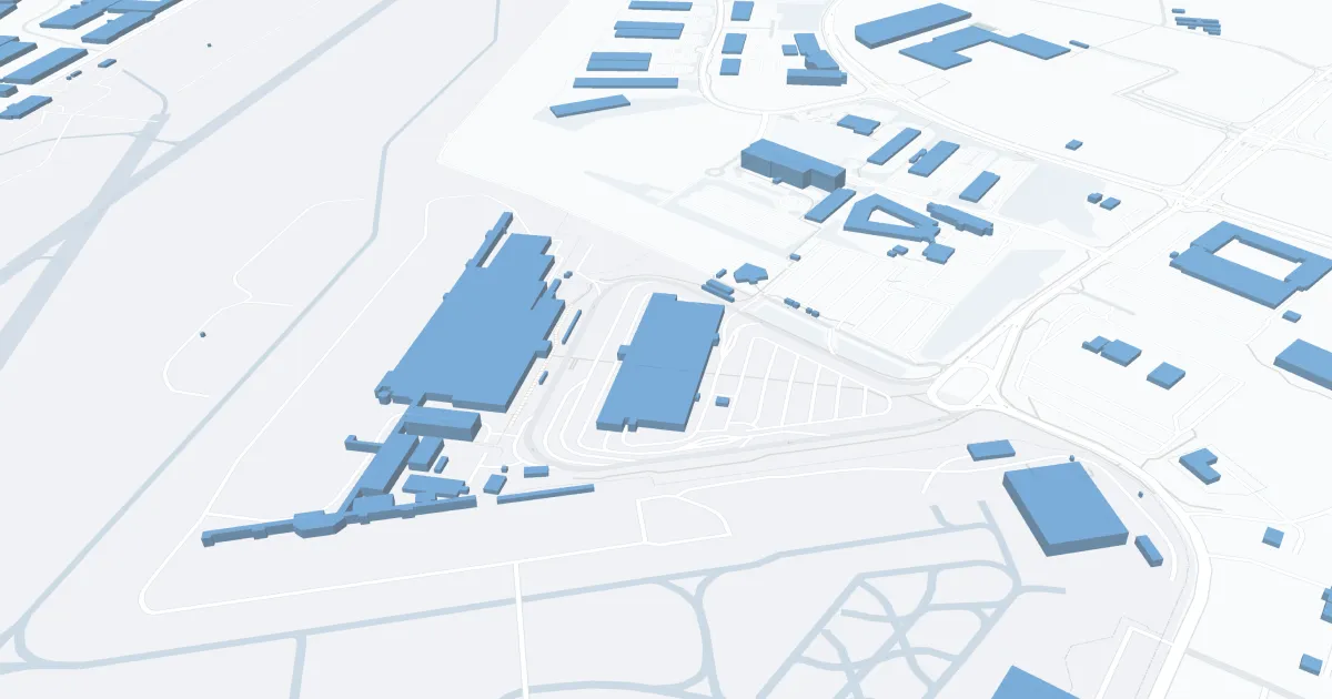
Aberdeen Airport (ABR) | Terminal maps | Airport guide


Aberdeen Airport Information
-
Airport Address:
4740 6th Ave SE, Aberdeen, SD 57401, United States -
Official Website:
https://aberdeenregionalairport.us/ -
Contact Number:
(605) 626-7020
ABR Contact Information
-
Name:
RICH KROKEL -
Address:
4740 6TH AVENUE SE -
Telephone:
(605) 626-7020
Aberdeen Airport
Aberdeen Regional Airport (ABR), located in Aberdeen, South Dakota, is a critical air service provider for northeastern South Dakota and surrounding areas. The airport is primarily served by SkyWest Airlines with direct flights to Minneapolis/St. Paul International Airport (MSP). This connection allows passengers easy access to Delta Air Lines' extensive global network.
The Aberdeen Regional terminal is equipped with amenities designed to provide a comfortable and convenient travel experience for all passengers. These include a waiting area, car rental services for easy transportation around the city, and ample parking near the terminal. While the airport offers a more modest array of services compared to larger airports, its basic amenities and direct connections to a major hub like Minneapolis/St. Paul make it an important gateway for the region's travelers.
Aberdeen Airport Weather 07/19/2026
Weather Forecast
This Afternoon
89
Sunny

Tonight
68
Severe Thunderstorms
Monday
94
Mostly Sunny then Mostly Sunny and Breezy
Monday Night
64
Mostly Clear and Breezy then Mostly Clear

Tuesday
83
Mostly Sunny

Tuesday Night
57
Mostly Clear
Wednesday
84
Mostly Sunny

Wednesday Night
60
Partly Cloudy

Thursday
84
Partly Sunny

Thursday Night
63
Mostly Cloudy
Friday
88
Mostly Sunny
Friday Night
66
Mostly Clear

Saturday
95
Hot