Waco Airport (ACT) | Terminal maps | Airport guide


Waco Airport Information
-
Airport Address:
7909 Karl May Dr, Waco, TX 76708, United States -
Official Website:
http://www.waco-texas.com/airport/ -
Contact Number:
(254) 750-8656
ACT Contact Information
-
Name:
JOEL C. MARTINEZ -
Address:
7909 KARL MAY DRIVE -
Telephone:
(254) 750-8657
Waco Airport
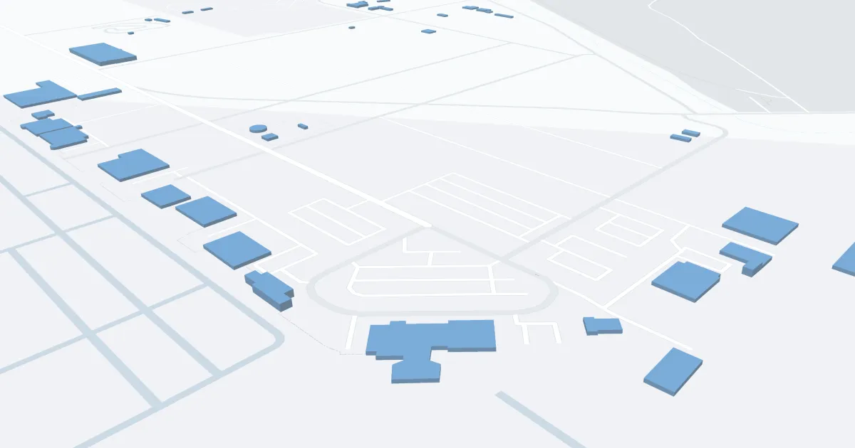
Waco Regional Airport (ACT) in Waco, Texas, is a small, convenient airport primarily serving the Central Texas region. It offers a streamlined, hassle-free travel experience with a compact terminal that's easy to navigate. Primarily catering to regional and domestic flights, ACT connects Waco to major hubs, facilitating both business and leisure travel. The airport's facilities are modest but adequately equipped with essential services, including rental car counters, a comfortable waiting area, and a few dining options. Its friendly staff and relaxed atmosphere provide a pleasant, low-stress environment for passengers, making it a practical and efficient gateway to the heart of Texas.
Waco Airport Weather 07/24/2026
Weather Forecast
This Afternoon
96
Mostly Sunny

Tonight
77
Partly Cloudy
Saturday
97
Mostly Sunny

Saturday Night
77
Mostly Clear

Sunday
99
Hot

Sunday Night
79
Clear
Monday
100
Hot
Monday Night
78
Mostly Clear
Tuesday
101
Hot
Tuesday Night
79
Clear
Wednesday
101
Hot
Wednesday Night
80
Mostly Clear
Thursday
102
Hot