Alliance Airport (AIA) | Terminal maps | Airport guide


Alliance Airport Information
-
Airport Address:
5631 Sarpy Rd, Alliance, NE 69301, United States -
Official Website:
http://www.flyalliancene.com/ -
Contact Number:
(308) 762-4512
AIA Contact Information
-
Name:
MS LYNN PLACEK -
Address:
5631 SARPY ROAD, PO BOX D -
Telephone:
(308) 762-4512
Alliance Airport
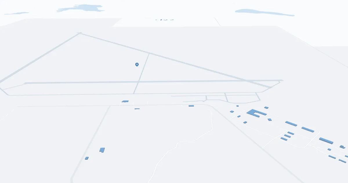
Alliance Airport (AIA), officially known as Alliance Municipal Airport, is located in Box Butte County, near the city of Alliance, Nebraska. Primarily serving general aviation, AIA is a small, public-use airport characterized by its friendly, community-oriented atmosphere. The airport boasts a single runway and a modest terminal, providing essential services for private pilots, air taxi services, and occasional commercial flights. Facilities at AIA include aircraft parking, fueling services, and hangar rentals, catering mainly to local aviators and transient aircraft. The airport plays a vital role in the region, supporting local businesses, tourism, and serving as a convenient gateway for regional travel.
Alliance Airport Weather 07/25/2026
Weather Forecast
Tonight
65
Mostly Clear
Saturday
104
Sunny then Sunny and Breezy
Saturday Night
69
Slight Chance T-storms and Breezy then Partly Cloudy

Sunday
105
Hot

Sunday Night
67
Partly Cloudy
Monday
103
Sunny then Chance T-storms
Monday Night
64
Showers Likely then Chance Showers
Tuesday
95
Partly Sunny then Chance T-storms

Tuesday Night
63
Showers Likely
Wednesday
95
Mostly Sunny then Slight Chance T-storms
Wednesday Night
63
Chance T-storms then Slight Chance Showers
Thursday
95
Hot
Thursday Night
62
Slight Chance T-storms then Partly Cloudy