Denver Airport (DEN) | Terminal maps | Airport guide


Denver Airport Terminal Guides
View All DEN Guides-
DEN Airport Terminal A
Open Guide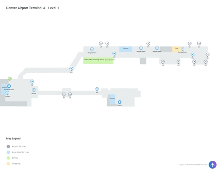
-
DEN Airport Terminal B
Open Guide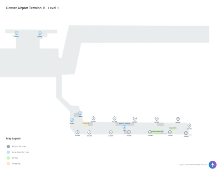
-
DEN Airport Terminal C
Open Guide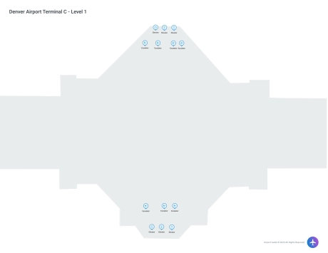
-
DEN Airport Jeppesen Terminal
Open Guide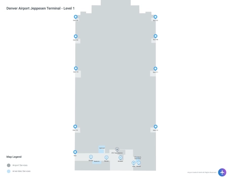
Denver Airport Information
-
Airport Address:
8500 Pena Blvd, Denver, CO 80249, United States -
Official Website:
http://www.flydenver.com/ -
Contact Number:
(720) 730-4359
DEN Contact Information
-
Name:
KIM DAY -
Address:
ADMIN BLDG, 8500 PENA BLVD -
Telephone:
(303) 342-2206
Denver Airport

Denver International Airport (DEN), known for its distinctive peaked roof that mimics the nearby Rocky Mountains, is one of the largest airports in the world by land area and a major hub in the United States. Located about 25 miles northeast of downtown Denver, Colorado, it serves as a critical gateway for both domestic and international flights.
DEN operates with one main terminal, the Jeppesen Terminal, which is known for its striking architecture and efficient design. This terminal is connected to three concourses (A, B, and C) through an underground automated train system, making transit between gates quick and easy for passengers.
The airport offers a wide range of amenities to enhance the travel experience. Dining options at DEN include a variety of eateries from fast food to upscale dining, reflecting both local and international flavors. Shopping opportunities are abundant, with stores offering everything from Colorado-themed souvenirs to luxury goods.
DEN is designed to accommodate the needs of all travelers, including those with disabilities, ensuring that facilities like restrooms, shuttle services, and customer service centers are accessible. The airport also provides spaces like nursing rooms for traveling mothers and pet relief areas for those traveling with animals.
The airport is well-connected by several modes of transportation. The RTD’s University of Colorado A Line rail service offers direct connection to downtown Denver and beyond, providing a convenient and eco-friendly option for travelers. Additionally, taxis, shuttles, and ride-sharing services like Uber and Lyft are readily available.
Parking at DEN is ample, with options ranging from economy lots to closer, more expensive garages, all of which include shuttle service to the terminals.
As an economic engine for the region, Denver International Airport continues to expand its facilities and services, striving to provide a seamless and efficient travel experience for millions of passengers each year.
Denver Airport Weather 07/22/2026
Weather ForecastToday
96
Sunny then Showers Likely
Tonight
65
Chance T-storms then Slight Chance Showers
Thursday
88
Mostly Sunny then Showers Likely
Thursday Night
62
Chance T-storms then Partly Cloudy

Friday
93
Sunny

Friday Night
67
Partly Cloudy

Saturday
98
Hot
Saturday Night
69
Partly Cloudy
Sunday
98
Hot
Sunday Night
68
Slight Chance T-storms then Partly Cloudy
Monday
96
Mostly Sunny then Chance T-storms
Monday Night
65
Chance T-storms then Slight Chance Showers
Tuesday
93
Mostly Sunny then Chance T-storms