Bangor Airport (BGR) | Terminal maps | Airport guide


Bangor Airport Information
-
Airport Address:
287 Godfrey Blvd, Bangor, ME 04401, United States -
Official Website:
http://www.flybangor.com/ -
Contact Number:
(207) 992-4600
BGR Contact Information
-
Name:
TONY CARUSO -
Address:
BANGOR INTERNATIONAL ARPT, 287 GODFREY BLVD. -
Telephone:
(207) 992-4600
Bangor Airport
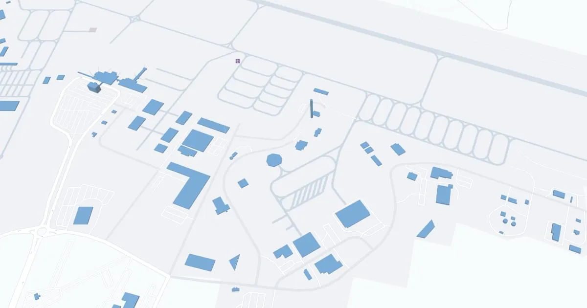
Bangor International Airport (BGR), situated in Bangor, Maine, serves as a key gateway to the northeastern United States. This airport is known for its strategic location and versatility, handling both commercial and military flights. BGR features a single terminal, offering a hassle-free travel experience with streamlined check-in and security processes. The airport provides services through major airlines like American, Delta, and United, connecting Bangor to several major U.S. hubs and facilitating international travel. The terminal includes basic amenities such as dining options, a gift shop, and car rental services. BGR's friendly atmosphere and convenient facilities make it a preferred choice for travelers in the region.
Bangor Airport Weather 08/03/2026
Weather Forecast
This Afternoon
73
Rain
Tonight
62
Rain Likely and Patchy Fog then Chance Rain and Patchy Fog

Tuesday
83
Sunny

Tuesday Night
60
Mostly Clear
Wednesday
86
Sunny
Wednesday Night
64
Partly Cloudy then Slight Chance Showers

Thursday
88
Hot

Thursday Night
68
Partly Cloudy
Friday
90
Mostly Sunny then Chance T-storms
Friday Night
67
Chance T-storms then Chance Showers
Saturday
87
Mostly Sunny then Slight Chance Showers
Saturday Night
67
Partly Cloudy
Sunday
89
Hot