Chadron Airport (CDR) | Terminal maps | Airport guide


Chadron Airport Information
-
Airport Address:
90 Airport Rd, Chadron, NE 69337, United States -
Official Website:
https://www.chadron-nebraska.com/301/Chadron-Municipal-Airport -
Contact Number:
(308) 432-0505
CDR Contact Information
-
Name:
MR. GREG YANKER -
Address:
P.O. BOX 390 -
Telephone:
(308) 432-0505
Chadron Airport
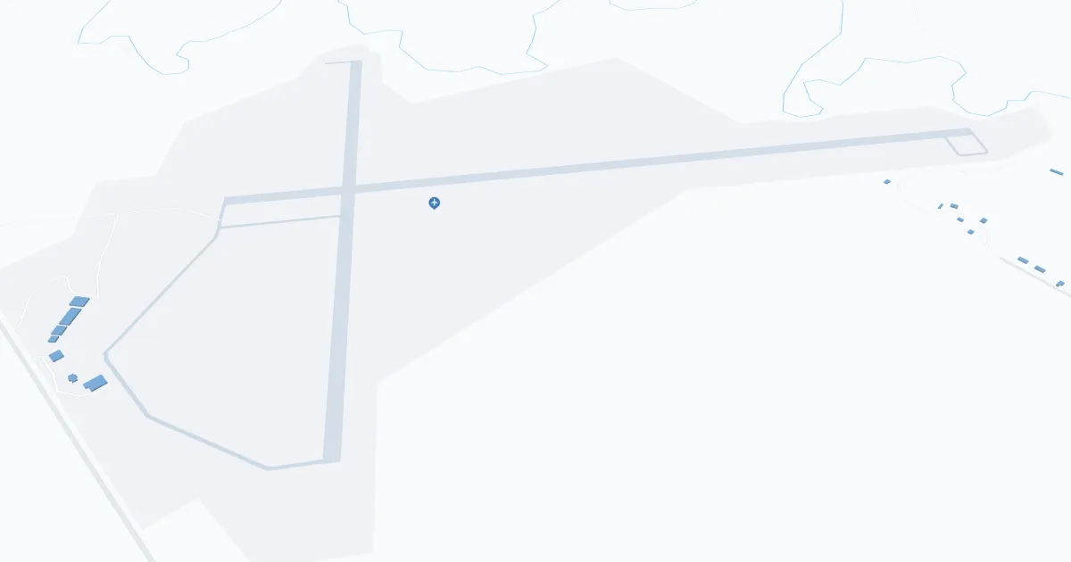
Chadron Municipal Airport (CDR), located in Chadron, Nebraska, is a small regional airport serving primarily the northwestern part of the state. It is located about 5 miles west of downtown Chadron, and can be reached via U.S. Highway 385. This airport is especially valued by locals and tourists for its convenience and connection to major cities.
CDR is served by Boutique Air, which operates scheduled passenger flights to Denver International Airport. This connection provides travelers with national and international flights from Denver.
The airport has a modest terminal that provides quick and easy check-in and boarding. Chadron Municipal Airport has basic services such as car rentals and a comfortable waiting area, making it a practical choice for both locals and visitors exploring the scenic nature of northwest Nebraska and surrounding regions.
Chadron Airport Weather 08/03/2026
Weather Forecast
Tonight
73
Mostly Clear and Breezy

Monday
94
Patchy Smoke and Breezy
Monday Night
56
Patchy Smoke and Windy then Chance Showers and Breezy
Tuesday
79
Patchy Smoke then Mostly Sunny
Tuesday Night
54
Mostly Clear then Showers Likely
Wednesday
84
Chance Showers then Sunny

Wednesday Night
58
Mostly Clear

Thursday
92
Hot

Thursday Night
62
Clear
Friday
99
Sunny then Slight Chance T-storms
Friday Night
66
Mostly Clear
Saturday
101
Hot
Saturday Night
66
Mostly Clear