Cheyenne Airport (CYS) | Terminal maps | Airport guide


Cheyenne Airport Information
-
Airport Address:
4020 Airport Pkwy W, Cheyenne, WY 82001, United States -
Official Website:
http://www.cheyenneairport.com/ -
Contact Number:
(307) 634-7071
CYS Contact Information
-
Name:
TIM BARTH -
Address:
4000 AIRPORT PARKWAY -
Telephone:
(307) 634-7071
Cheyenne Airport
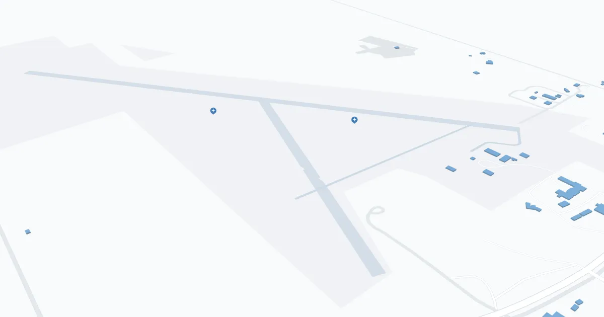
Cheyenne/Jerry Olson Field Regional Airport (CYS) is located in Cheyenne, Wyoming, and serves as the primary air gateway for the state capital and surrounding areas. This regional airport plays a key role in connecting the local community to major national transportation networks.
CYS is currently served by SkyWest Airlines, operating as United Express, which offers direct flights to Denver International Airport (DEN). This connection provides passengers access to a wide range of domestic and international destinations through United's extensive network.
The airport features a single terminal that emphasizes functionality and passenger convenience. Despite its modest size, the terminal is equipped with essential amenities designed to enhance the travel experience. Amenities include a comfortable waiting area, car rental services and a restaurant for travelers. In addition, free Wi-Fi is available throughout the terminal, allowing passengers to stay connected. Parking at CYS is easy, with both short-term and long-term options available in the immediate vicinity of the terminal.
Cheyenne Regional Airport embodies efficiency and affordability, serving as a critical link for travel to Wyoming's state capital and beyond.
Cheyenne Airport Weather 08/02/2026
Weather Forecast
Overnight
60
Mostly Clear

Sunday
98
Hot

Sunday Night
65
Partly Cloudy
Monday
92
Mostly Sunny then Mostly Sunny and Breezy
Monday Night
53
Partly Cloudy and Breezy then Partly Cloudy
Tuesday
74
Mostly Sunny then Sunny and Breezy
Tuesday Night
53
Partly Cloudy and Breezy then Partly Cloudy

Wednesday
81
Mostly Sunny
Wednesday Night
54
Mostly Clear

Thursday
89
Sunny
Thursday Night
58
Mostly Clear
Friday
94
Hot
Friday Night
61
Mostly Clear