Decatur Airport (DEC) | Terminal maps | Airport guide


Decatur Airport Information
-
Airport Address:
910 S Airport Rd, Decatur, IL 62521, United States -
Official Website:
https://decatur-parks.org/decatur-airport/# -
Contact Number:
(217) 428-2423
DEC Contact Information
-
Name:
TIM A. WRIGHT -
Address:
910 S. AIRPORT ROAD -
Telephone:
(217) 428-2423
Decatur Airport
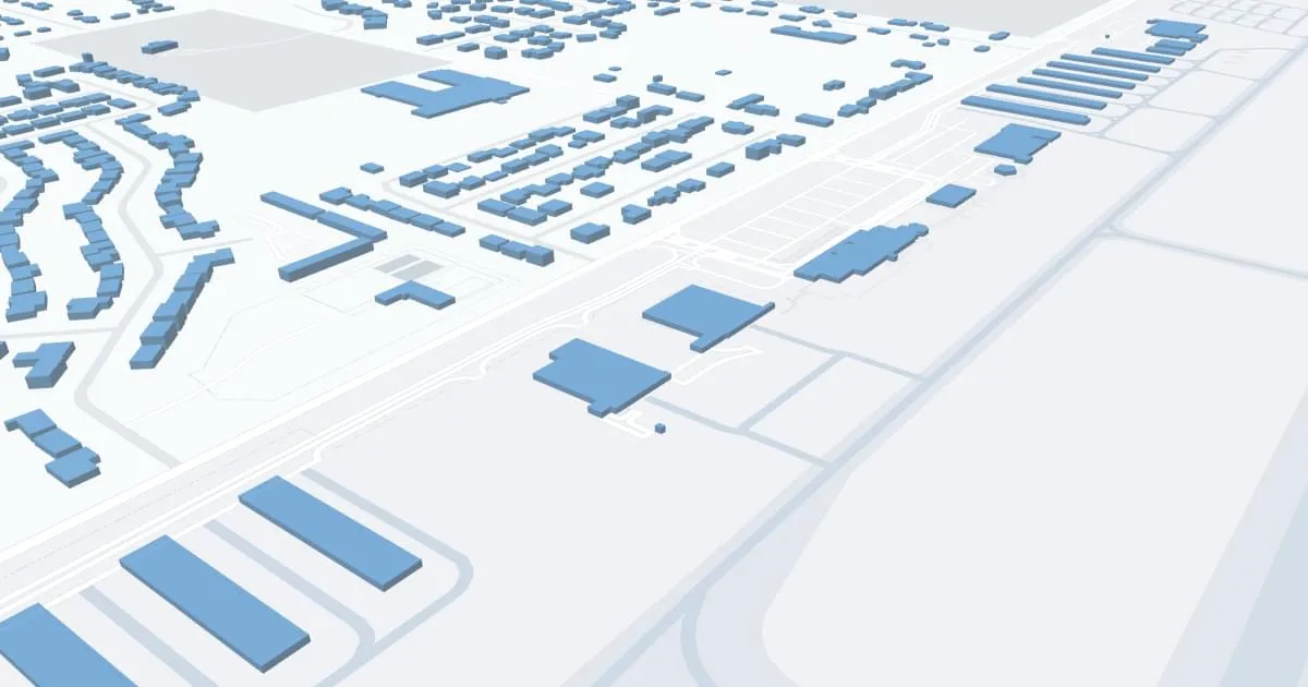
Decatur Airport (DEC), located in Decatur, Illinois, is an important regional hub providing vital air service to central Illinois.
DEC is currently served by Cape Air, which offers daily direct flights to St. Louis Lambert International Airport (STL). This connection offers many travel opportunities, providing passengers with easy access to national and international flights through STL's extensive network.
The airport features a single terminal designed for passenger convenience, offering a simplified travel experience from check-in to boarding. Within the terminal, passengers can find basic amenities designed to enhance their journey. These include a comfortable waiting area, car rental services for convenient transportation in and around Decatur, and ample parking near the terminal.
While Decatur Airport may not boast the wide range of amenities typical of major airports, its efficient operations and personalized level of service ensure a pleasant and carefree travel experience for all of its users.
Decatur Airport Weather 07/23/2026
Weather Forecast
Tonight
54
Decreasing Clouds

Thursday
77
Sunny

Thursday Night
58
Increasing Clouds

Friday
77
Partly Sunny
Friday Night
61
Mostly Cloudy
Saturday
83
Partly Sunny
Saturday Night
69
Partly Cloudy

Sunday
91
Mostly Sunny
Sunday Night
71
Partly Cloudy
Monday
91
Sunny

Monday Night
71
Mostly Clear
Tuesday
89
Mostly Sunny
Tuesday Night
67
Partly Cloudy