Milwaukee Airport (MKE) | Terminal maps | Airport guide


Milwaukee Airport Information
-
Airport Address:
5300 S Howell Ave, Milwaukee, WI 53207, United States -
Official Website:
http://www.mitchellairport.com/ -
Contact Number:
(414) 747-5300
MKE Contact Information
-
Name:
BRIAN DRANZIK -
Address:
5300 S HOWELL AVE -
Telephone:
(414) 747-5300
Milwaukee Airport
General Mitchell International Airport (MKE), located in Milwaukee, Wisconsin, serves as a vital transportation hub for the southeastern part of the state and the northern Chicago metropolitan area. This airport is named in honor of General Billy Mitchell, a pioneer of U.S. military aviation. MKE is served by a variety of airlines, including Southwest, Delta, American, United, and Frontier, offering direct flights to numerous domestic destinations such as Atlanta, Denver, Las Vegas, Orlando, and Phoenix, as well as international flights to destinations like Cancun and Toronto, providing passengers with a wide range of travel options.
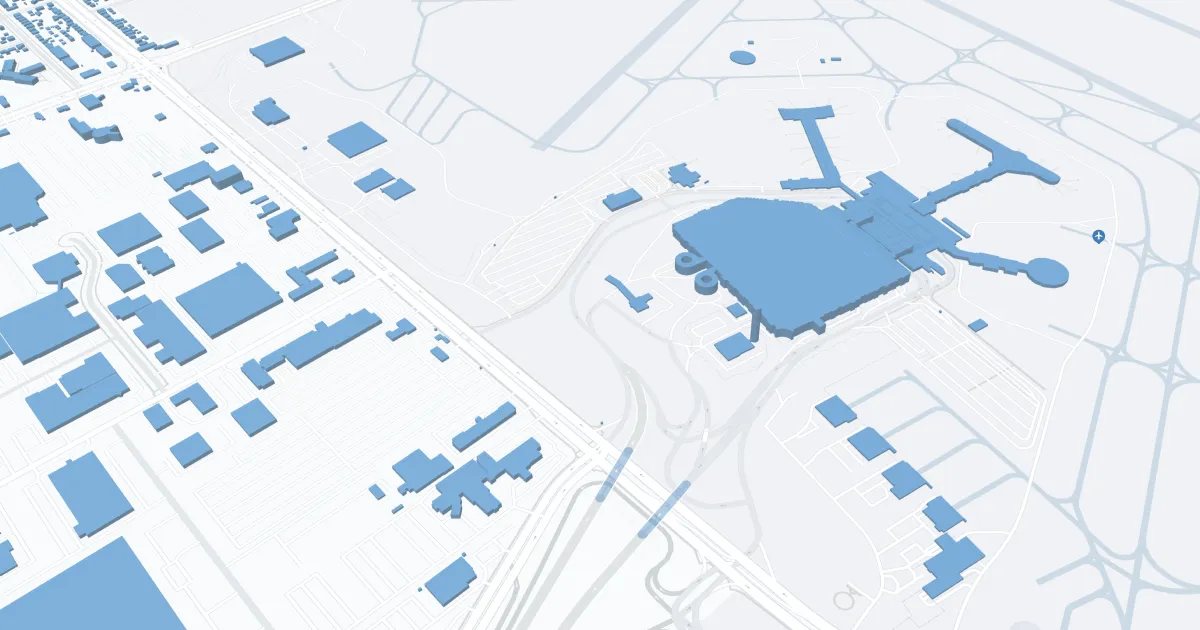
The airport features two main terminals, Concourse C and Concourse D, equipped with modern amenities to enhance the passenger experience. These include ample parking facilities, a comprehensive car rental center, taxi services, and ride-sharing options for convenient ground transportation. Inside, travelers can enjoy a variety of dining options, ranging from quick snacks to full-service restaurants, retail stores for shopping, free Wi-Fi to stay connected, and lounge areas for relaxation.
General Mitchell International Airport is crucial for travelers for its strategic location, offering an alternative to Chicago's airports with fewer crowds and often more convenient access for residents of Wisconsin and Illinois. It supports the region's tourism and business activities by providing essential connectivity and facilitating economic growth. Its comprehensive services and commitment to passenger satisfaction make MKE an important gateway for domestic and international travelers alike.
Milwaukee Airport Weather 08/02/2026
Weather Forecast
Overnight
65
Mostly Cloudy
Sunday
74
Mostly Cloudy then Mostly Sunny and Breezy

Sunday Night
61
Mostly Clear

Monday
77
Sunny
Monday Night
61
Mostly Clear
Tuesday
83
Sunny
Tuesday Night
65
Partly Cloudy then Slight Chance T-storms

Wednesday
76
Chance Showers

Wednesday Night
62
Chance Showers
Thursday
76
Slight Chance Showers then Slight Chance T-storms

Thursday Night
65
Partly Cloudy

Friday
80
Mostly Sunny

Friday Night
67
Slight Chance T-storms