Dickinson Airport (DIK) | Terminal maps | Airport guide


Dickinson Airport Information
-
Airport Address:
11120 42nd St SW, Dickinson, ND 58601, United States -
Official Website:
http://www.dickinsonairport.com/ -
Contact Number:
(701) 483-1062
DIK Contact Information
-
Name:
KELLY BRAUN -
Address:
11120 42ND ST SW -
Telephone:
(701) 483-1062
Dickinson Airport
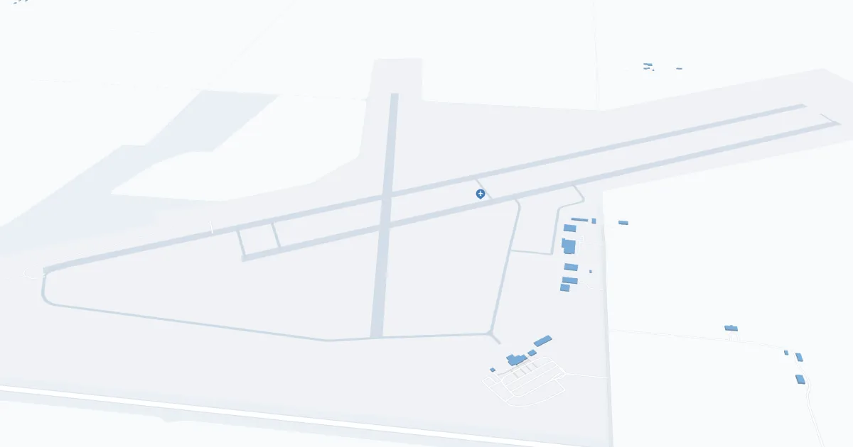
Theodore Roosevelt Regional Airport (DIK), located in Dickinson, North Dakota, serves as a key gateway to the western part of the state, including the Badlands and Theodore Roosevelt National Park.
The primary carrier is United Airlines, offering direct flights to Denver International Airport (DEN), from which passengers have access to a wide network of domestic and international destinations.
The DIK terminal is compact and efficient, designed for the convenience of travelers. The terminal has basic services to ensure passenger comfort, such as a waiting area, car rentals for easy access to nearby attractions, and free Wi-Fi to allow travelers to stay connected. Convenient parking is close to the terminal, making arrival and departure carefree.
While the airport doesn't boast the same amenities as larger airports, it focuses on efficiency, convenience, and friendly service, making it an important regional hub for travelers to Dickinson and beyond.
Dickinson Airport Weather 07/27/2026
Weather Forecast
Overnight
62
Areas Smoke
Monday
95
Areas Smoke then Slight Chance T-storms
Monday Night
65
Slight Chance T-storms then Patchy Smoke

Tuesday
98
Patchy Smoke

Tuesday Night
66
Mostly Clear
Wednesday
100
Sunny then Slight Chance T-storms
Wednesday Night
65
Chance T-storms then Chance Showers
Thursday
92
Slight Chance Showers then Slight Chance T-storms
Thursday Night
63
Slight Chance T-storms then Partly Cloudy

Friday
92
Hot
Friday Night
63
Mostly Clear
Saturday
96
Hot
Saturday Night
67
Mostly Clear