New Bedford Airport (EWB) | Terminal maps | Airport guide


New Bedford Airport Information
-
Airport Address:
1569 Airport Rd, New Bedford, MA 02746, United States -
Official Website:
https://flyewb.com/ -
Contact Number:
(508) 991-6161
EWB Contact Information
-
Name:
SCOT SERVIS -
Address:
1569 AIRPORT ROAD -
Telephone:
(508) 991-6161
New Bedford Airport
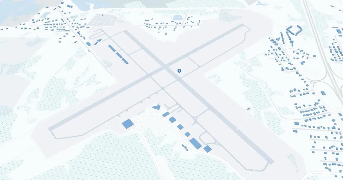
New Bedford Regional Airport (EWB), located in New Bedford, Massachusetts, is a convenient gateway to the southeastern Massachusetts region, including Cape Cod and the Islands. The airport is served by Cape Air, providing direct flights to key destinations such as Martha's Vineyard and Nantucket, which is essential for residents and tourists alike seeking quick access to these islands. At its terminal, EWB offers a number of amenities to enhance passenger comfort, including a cozy waiting area, car rental services for seamless travel on local and regional routes, and convenient parking near the terminal for easy access. Although compact, New Bedford Regional Airport provides an enjoyable and efficient travel experience through its personalized services and strategic location.
New Bedford Airport Weather 07/22/2026
Weather Forecast
Today
84
Chance Showers
Tonight
61
Slight Chance Showers then Partly Cloudy

Thursday
81
Mostly Sunny

Thursday Night
59
Mostly Clear

Friday
83
Sunny
Friday Night
59
Mostly Clear
Saturday
82
Sunny

Saturday Night
58
Partly Cloudy
Sunday
81
Mostly Sunny
Sunday Night
61
Partly Cloudy
Monday
82
Mostly Sunny

Monday Night
64
Chance Showers

Tuesday
81
Chance Showers