Golden Triangle Airport (GTR) | Terminal maps | Airport guide


Golden Triangle Airport Terminal Guides
View All GTR Guides-
GTR Airport Terminal 1
Open Guide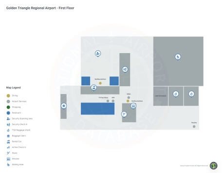
Golden Triangle Airport Information
-
Airport Address:
2080 Airport Rd, Columbus, MS 39701, United States -
Official Website:
http://www.gtra.com/ -
Contact Number:
(662) 327-4422
GTR Contact Information
-
Name:
MICHAEL P. HAINSEY -
Address:
2080 AIRPORT ROAD -
Telephone:
(662) 327-4422
Golden Triangle Airport
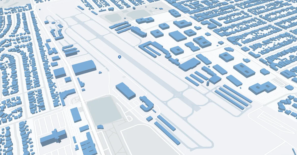
Golden Triangle Regional Airport (GTR), located near Columbus, Mississippi, serves the Golden Triangle area, including Starkville and West Point. The airport is primarily served by Delta Connection airlines and offers direct flights to Atlanta, connecting passengers to a global network. The terminal provides amenities such as parking, car rental and cab services. GTR plays an important role in regional connectivity, supporting local business, education (particularly Mississippi State University) and tourism, making travel convenient for residents and visitors.
Golden Triangle Airport Weather 08/02/2026
Weather Forecast
Overnight
69
Mostly Clear

Sunday
86
Mostly Sunny

Sunday Night
69
Decreasing Clouds
Monday
89
Mostly Sunny
Monday Night
70
Mostly Clear

Tuesday
92
Sunny
Tuesday Night
71
Mostly Clear
Wednesday
94
Sunny
Wednesday Night
73
Mostly Clear
Thursday
94
Sunny then Slight Chance T-storms
Thursday Night
74
Mostly Clear then Slight Chance Showers
Friday
94
Sunny
Friday Night
74
Mostly Clear then Slight Chance Showers