Gunnison Crested Butte Airport (GUC) | Terminal maps | Airport guide


Gunnison Crested Butte Airport Information
-
Airport Address:
711 Rio Grande Ave, Gunnison, CO 81230, United States -
Official Website:
https://www.gunnisoncounty.org/Airport -
Contact Number:
(970) 641-2304
GUC Contact Information
-
Name:
RICHARD LAMPORT -
Address:
519 RIO GRANDE -
Telephone:
(970) 642-7388
Gunnison Crested Butte Airport
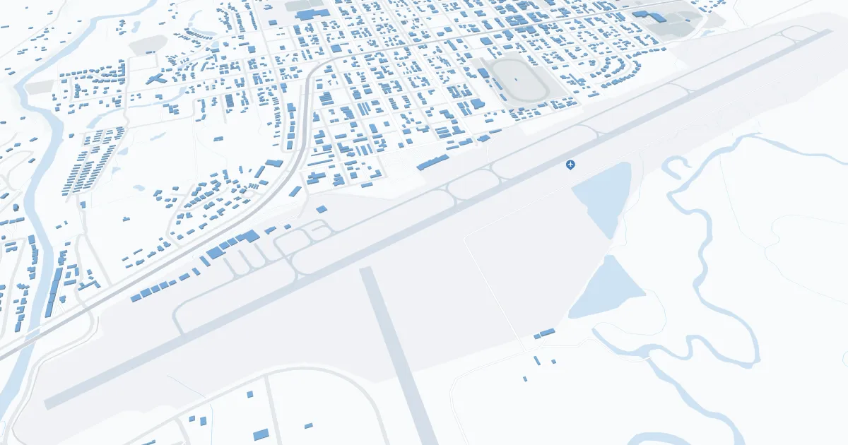
Gunnison-Crested Butte Regional Airport (GUC), located in Gunnison, Colorado, is the gateway to the scenic Gunnison Valley and the ski slopes of Crested Butte. It is served by major airlines such as United Airlines and American Airlines, offering seasonal direct flights to Dallas, Denver and Houston. The terminal has amenities such as parking, car rental services and cab services. GUC is important to travelers, especially outdoor enthusiasts, because it provides easy access to famous ski slopes, hiking and mountain biking trails, which boosts local tourism and the economy.
Gunnison Crested Butte Airport Weather 07/20/2026
Weather Forecast
This Afternoon
90
Chance T-storms
Tonight
51
Chance Showers then Mostly Clear
Tuesday
88
Sunny then Slight Chance T-storms
Tuesday Night
52
Chance Showers then Partly Cloudy
Wednesday
84
Sunny then T-storms Likely
Wednesday Night
50
Showers then Chance Showers
Thursday
81
Slight Chance T-storms then T-storms
Thursday Night
49
Chance T-storms then Partly Cloudy
Friday
81
Mostly Sunny then Chance T-storms
Friday Night
50
Chance T-storms then Partly Cloudy
Saturday
85
Sunny then Chance T-storms
Saturday Night
50
Chance T-storms then Partly Cloudy
Sunday
84
Sunny then Chance T-storms