Helena Airport (HLN) | Terminal maps | Airport guide


Helena Airport Terminal Guides
View All HLN Guides-
HLN Airport Terminal 1
Open Guide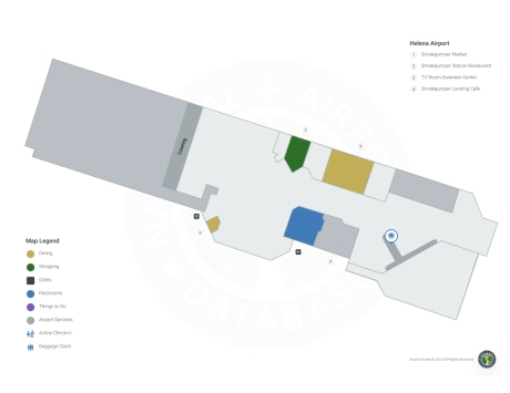
Helena Airport Information
-
Airport Address:
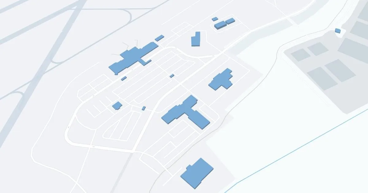
2850 Mercer Loop, Helena, Mt 59601, United States -
Official Website:
http://helenaairport.com/ -
Contact Number:
(406) 442-2821
HLN Contact Information
-
Name:
JEFF WADEKAMPER -
Address:
2850 MERCER LOOP -
Telephone:
(406) 442-2821
Helena Airport
Helena Regional Airport (HLN), located in Montana's scenic capital city of Helena, serves as a critical gateway to the state's vast natural beauty and historic sites.
The airport is served by Alaska Airlines, Delta Air Lines and United Airlines, providing direct flights to key hubs such as Seattle, Salt Lake City and Denver, thereby connecting passengers to broader national and international networks.
The HLN terminal offers many amenities for a comfortable travel experience, including ample parking, car rental agencies for exploring the region and cab services for convenient local transportation.
The importance of the HLN lies in its role in promoting economic growth, supporting tourism to Montana's national parks and recreation areas, and providing a critical link for business and personal travel throughout the region.
Helena Airport Weather 08/02/2026
Weather Forecast
Today
84
Patchy Smoke

Tonight
50
Patchy Smoke
Monday
73
Patchy Smoke
Monday Night
48
Patchy Smoke then Mostly Clear

Tuesday
79
Sunny

Tuesday Night
49
Mostly Clear
Wednesday
87
Sunny
Wednesday Night
53
Mostly Clear
Thursday
93
Sunny
Thursday Night
56
Mostly Clear
Friday
95
Sunny
Friday Night
57
Mostly Clear
Saturday
93
Sunny