Hays Airport (HYS) | Terminal maps | Airport guide


Hays Airport Information
-
Airport Address:
3950 E 8th, Hays, KS 67601, United States -
Official Website:
http://www.flyhays.com/ -
Contact Number:
(785) 628-7370
HYS Contact Information
-
Name:
JAMIE SALTER -
Address:
BOX 490 -
Telephone:
(785) 628-7370
Hays Airport
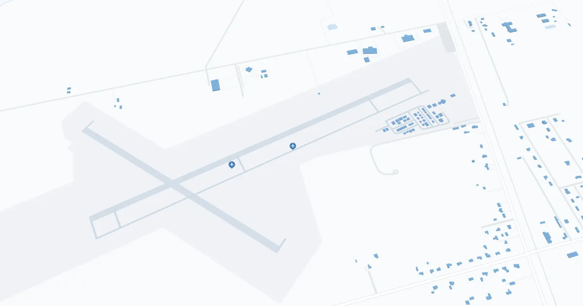
Hays Regional Airport (HYS), located in Hays, Kansas, is served by SkyWest Airlines, operating under the United Express brand with direct flights to Denver. The terminal offers basic amenities including parking, car rental and cab services. HYS is vital to travelers, providing critical connections to larger networks and supporting regional economic development.
Hays Airport Weather 08/03/2026
Weather Forecast
Tonight
66
Mostly Clear

Monday
102
Hot and Breezy
Monday Night
70
Mostly Clear and Breezy then Mostly Clear

Tuesday
93
Decreasing Clouds

Tuesday Night
64
Partly Cloudy

Wednesday
88
Mostly Sunny

Wednesday Night
62
Chance T-storms
Thursday
90
Mostly Sunny
Thursday Night
64
Chance T-storms
Friday
96
Mostly Sunny
Friday Night
68
Mostly Clear

Saturday
100
Hot
Saturday Night
71
Mostly Clear