Gogebic Iron County Airport (IWD) | Terminal maps | Airport guide


Gogebic Iron County Airport Information
-
Airport Address:
E5560 Airport Rd, Ironwood, MI 49938, United States -
Official Website:
https://flyfromironwood.com/ -
Contact Number:
(906) 932-3121
IWD Contact Information
-
Name:
MICHAEL HARMA -
Address:
E 5560 AIRPORT ROAD -
Telephone:
(906) 932-3121
Gogebic Iron County Airport
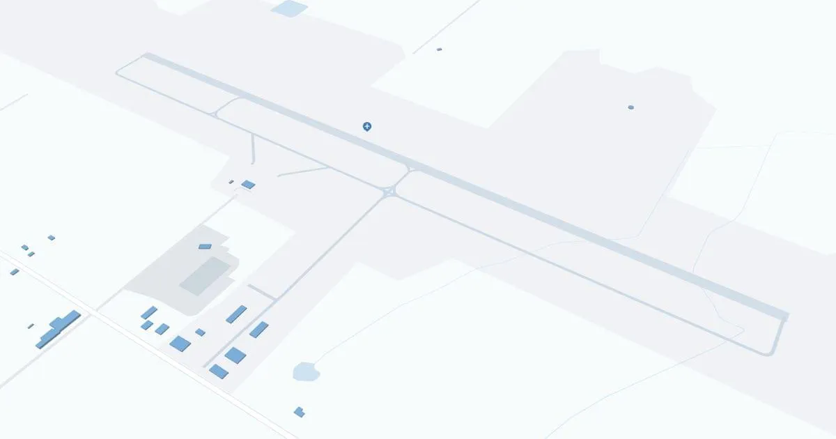
Gogebic-Iron County Airport (IWD), located in Ironwood, Michigan, serves the western Upper Peninsula and northern Wisconsin. It is primarily served by Boutique Air, which offers direct flights to Minneapolis, making it easy to access a wide network of destinations. The terminal has all the necessary amenities including parking, car rental services to explore the scenic region, and cab services. IWD plays an important role for travelers by offering convenient access to local attractions and business opportunities, as well as supporting regional economic development by improving connectivity to major markets and tourist destinations.
Gogebic Iron County Airport Weather 08/02/2026
Weather ForecastToday
75
Areas Fog then Sunny

Tonight
53
Mostly Clear

Monday
86
Sunny
Monday Night
62
Partly Cloudy then Chance Showers

Tuesday
77
Chance Showers

Tuesday Night
51
Partly Cloudy

Wednesday
76
Mostly Sunny
Wednesday Night
53
Partly Cloudy
Thursday
83
Sunny
Thursday Night
59
Partly Cloudy
Friday
84
Mostly Sunny

Friday Night
59
Chance Showers
Saturday
82
Mostly Sunny