Inyokern Airport (IYK) | Terminal maps | Airport guide


Inyokern Airport Information
-
Airport Address:
1669 Airport Road, Inyokern, CA 93527, United States -
Official Website:
http://www.inyokernairport.com/ -
Contact Number:
(760) 377-5844
IYK Contact Information
-
Name:
SCOTT A. SEYMOUR -
Address:
1669 AIRPORT ROAD -
Telephone:
(760) 377-5844
Inyokern Airport
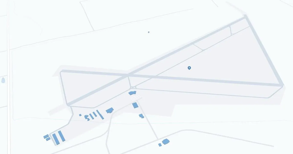
Inyokern Airport (IYK), located in Inyokern, California, serves the Eastern Sierra region. It does not currently offer scheduled commercial air service, but remains vital for general aviation, military training, and private flights. The airport provides essential amenities such as parking and nearby car rental facilities. IYK is important to travelers and locals because of its convenience, serves as a gateway to the region's natural beauty, and supports local economic activity through aviation services.
Inyokern Airport Weather 07/26/2026
Weather Forecast
Today
108
Hot

Tonight
78
Mostly Clear
Monday
107
Hot
Monday Night
75
Mostly Clear
Tuesday
106
Hot

Tuesday Night
73
Clear
Wednesday
107
Hot
Wednesday Night
75
Clear
Thursday
109
Hot
Thursday Night
77
Clear
Friday
111
Hot
Friday Night
80
Mostly Clear
Saturday
113
Hot