Home USA KS
KLBL

Liberal Mid-America Airport (LBL) | Terminal maps | Airport guide

Scroll down for more airport maps and info


Liberal Mid-America Airport Weather 05/16/2024

Weather Forecast
Sunny

Today

75

Partly Sunny

Sunny

Tonight

49

Partly Cloudy

Sunny

Friday

83

Sunny

Sunny

Friday Night

53

Mostly Clear

Sunny

Saturday

91

Sunny

Sunny

Saturday Night

57

Slight Chance T-storms

Sunny

Sunday

94

Mostly Sunny then Sunny and Breezy

Sunny

Sunday Night

57

Mostly Clear

Sunny

Monday

92

Sunny

Sunny

Monday Night

56

Partly Cloudy

Sunny

Tuesday

84

Mostly Sunny

Sunny

Tuesday Night

50

Mostly Clear

Sunny

Wednesday

83

Sunny

About Liberal Mid-America Airport

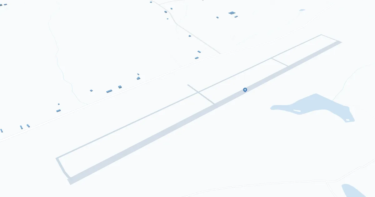
Liberal Mid-America Regional Airport (LBL), located in Liberal, Kansas, is primarily served by Boutique Air, offering direct flights to Denver. This connection allows travelers to access a wider network of destinations. The terminal has all the necessary amenities, including parking, car rental services for conveniently exploring the area, and cab services. LBL is important to travelers, facilitates regional connectivity, supports the local economy and provides vital air service for residents and visitors to southwest Kansas.

Liberal Mid-America Airport Information

Airport Address:
720 Terminal Ave, Liberal, KS 67901
Contact Number:

LBL Contact Information

Name:
MR. BRIAN FORNWALT
Address:
PO BOX 2199
Telephone:

Liberal Mid-America Airport Maps

LBL Airport map


LBL Airport diagram

Liberal Mid-America Airport Ground Transportation


LBL Airport Taxi

Liberal Taxi

1038 N Oklahoma Ave #2 , Liberal , KS 67901

(620) 309-7419

Liberal Mid-America Airport Rental Cars

Hertz Rent-A-Car
Hours of Operation:
24 Hours, 7 Days a Week
Open For Final Arrival:
Yes

720 Terminal Road, Liberal

(620) 624-1269

Liberal Mid-America Airport Parking

Liberal Public Works Department

312 N Kansas Ave, Liberal, KS 67901, Liberal

(620) 626-2220

LBL - Parking

720 Terminal Ave, Liberal, KS 67901, United States, Liberal

(620) 626-0188

Liberal Mid-America Airport Hotels

Budget Host LaFonda Motel Liberal

Welcome to the Budget Host LaFonda Motel Liberal, a Magnuson Hotels affiliate and 2006 Budget Host Award of Excellence winner, conveniently located on Hwy 54 less than one mile from Wizard of OZ ? Dorothy's House, Halliburton Energy Services, and two miles from Liberal Municipal Airport. Liberal is home to the annual October OZ-fest and the February Pancake Races. The Budget Host LaFonda Motel Liberal provides all of the amenities budget-conscious shoppers expect and a location close to fun spots that vacationers seek. The motel is two and half miles from Seward County Community College, two miles from Willow Tree Golf Course and Southwest Medical Center.

Distance from Airport:
Distance from Airport 2.0 miles
Free Airport Shuttle:
No

229 West Pancake Way, KS, Liberal, 67901

(620) 624-5601

Hampton Inn

ven if you're in Liberal to enjoy the great outdoors, we want you to enjoy our great indoors as well. That's why we offer a full range of services and amenities at our hotel to make your stay with us exceptional.

Distance from Airport:
Distance from Airport 3.0 miles
Free Airport Shuttle:
No

508 Hotel Drive, KS, Liberal, 67901

(620) 604-0699

Liberal Inn Motel

Established in 1984, Liberal Inn is much more than just a place to crash when traveling from one place to another. Our amenities feature the convenient on-site restaurant and lounge Branding Iron Restaurant & Lounge.

Distance from Airport:
Distance from Airport 2.6 miles
Free Airport Shuttle:
No

603 East Pancake Boulevard, KS, Liberal, 67901

(620) 624-7254

Airlines Serving Liberal Mid-America Airport

Liberal Mid-America Airport Routes and Destinations

LBL Charts & Navaids

Latitude:
37-37-07.7000N (37.618806)
Longitude:
122-22-31-5000W (-122.375417)
Elevation:
13.1 feet MSL (4 m MSL)
Magnetic Variation:
13.2 E (as of March 2022 from WMM2020 model)
Time Zone:
UTC -8.0 (Standard Time)
UTC -7.0 (Daylight Savings Time)
From City:
08 N.M. SE of San Francisco, California
Found On:
San Francisco Chart
FAA Region:
AWP
Close
press and move the map