Lebanon Municipal Airport (LEB) | Terminal maps | Airport guide


Lebanon Municipal Airport Information
-
Airport Address:
5 Airpark Rd, West Lebanon, NH 03784, United States -
Official Website:
http://flyleb.com/ -
Contact Number:
(603) 298-8878
LEB Contact Information
-
Name:
CARL GROSS -
Address:
5 AIRPARK ROAD -
Telephone:
(603) 298-8878
Lebanon Municipal Airport
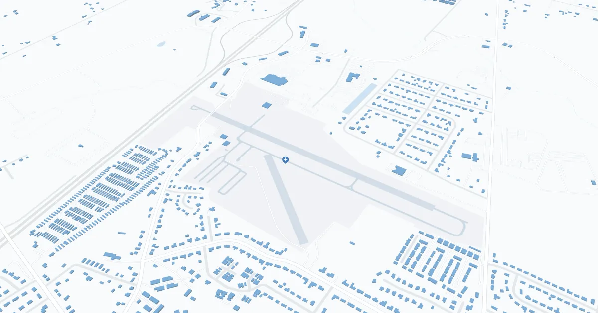
Lebanon Municipal Airport (LEB), located in Lebanon, New Hampshire, is served by Cape Air, offering direct flights to Boston and New York, providing passengers with access to a wide network of destinations. The terminal has all the necessary amenities including parking, car rental and cab services. LEB is important to travelers in the Upper Valley region, offering convenient access to major cities, supporting local tourism and facilitating business travel.
Lebanon Municipal Airport Weather 07/22/2026
Weather ForecastTonight
52
Mostly Clear then Patchy Fog
Thursday
78
Patchy Fog then Sunny

Thursday Night
50
Mostly Clear

Friday
83
Sunny
Friday Night
54
Mostly Clear
Saturday
87
Sunny

Saturday Night
57
Partly Cloudy

Sunday
85
Mostly Sunny
Sunday Night
57
Partly Cloudy
Monday
84
Mostly Sunny then Chance Showers

Monday Night
58
Chance Showers
Tuesday
82
Partly Sunny then Showers Likely

Tuesday Night
58
Showers Likely