Knox County Airport (RKD) | Terminal maps | Airport guide


Knox County Airport Information
-
Airport Address:
19 Terminal Ln, Owls Head, ME 04854, United States -
Official Website:
https://knoxcountymaine.gov/county_departments/knox_county_regional_airport/index.php -
Contact Number:
(207) 594-4131
RKD Contact Information
-
Name:
JEFF NORTHGRAVES -
Address:
5 AIRPORT ROAD -
Telephone:
(207) 594-4131
Knox County Airport
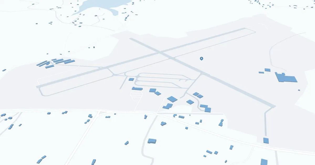
Knox County Regional Airport (RKD), located in Rockland, Maine, serves as a vital gateway to the Midcoast region, connecting it to broader destinations.
Served primarily by Cape Air, RKD Airport offers direct flights to Boston, allowing passengers to access a wide range of national and international connections.
The airport has essential amenities such as parking and rental cars, making it easy to explore Maine's scenic coastline.
RKD plays an important role for local tourism and businesses, increasing accessibility to the region and supporting the local economy.
Knox County Airport Weather 07/22/2026
Weather Forecast
Tonight
62
Showers and Patchy Fog
Wednesday
78
Patchy Fog then Mostly Cloudy
Wednesday Night
60
Chance Showers then Mostly Cloudy

Thursday
77
Decreasing Clouds

Thursday Night
57
Mostly Clear

Friday
78
Sunny
Friday Night
56
Mostly Clear
Saturday
71
Sunny

Saturday Night
56
Partly Cloudy

Sunday
70
Mostly Sunny
Sunday Night
58
Partly Cloudy
Monday
72
Partly Sunny

Monday Night
60
Chance Showers