Kodiak Airport (ADQ) | Terminal maps | Airport guide


Kodiak Airport Information
-
Airport Address:
1427 Airport Way, Kodiak, AK 99615, United States -
Contact Number:
(907) 487-4363
ADQ Contact Information
-
Name:
PHILLIP SMITH -
Address:
1500 ANTON LARSON RD -
Telephone:
(907) 487-4952
Kodiak Airport
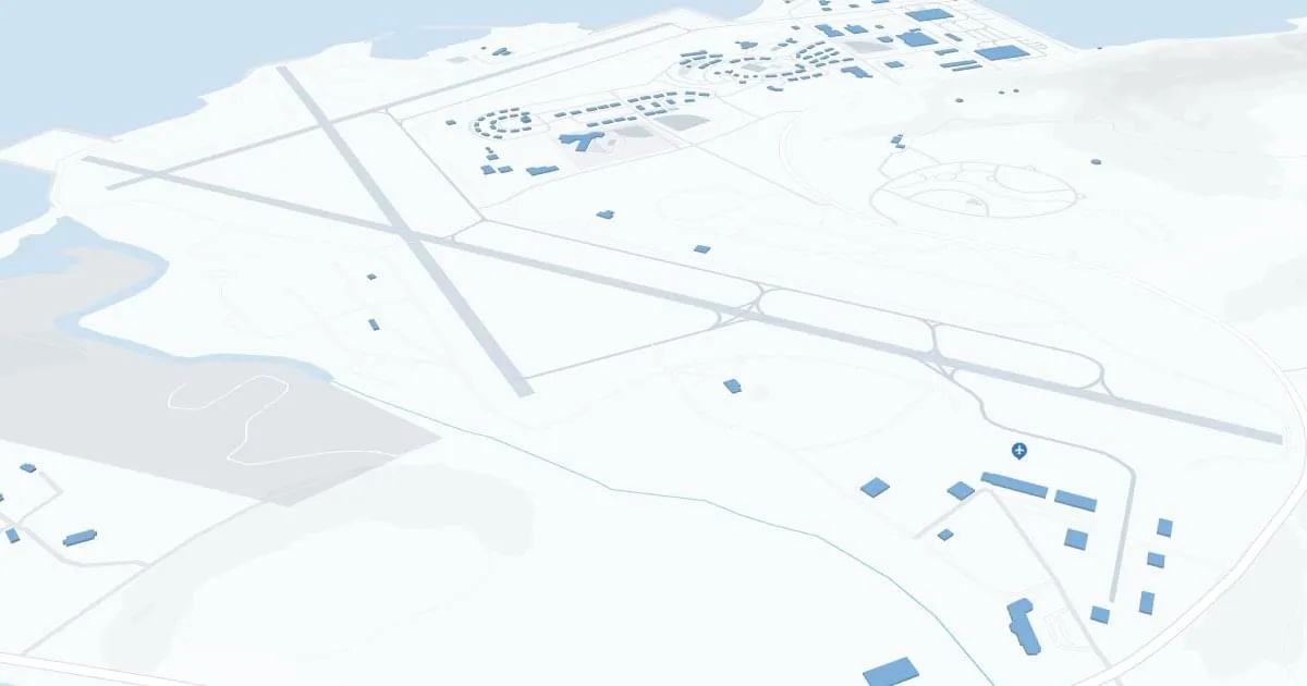
Kodiak Airport (ADQ), located on Kodiak Island in Alaska, is a vital hub connecting the remote and rugged region with the rest of Alaska and beyond. Primarily serving the city of Kodiak, this small airport is essential for both residents and visitors. It features a single terminal that, despite its modest size, is efficiently designed to handle both commercial and cargo flights. The airport's facilities include basic passenger amenities such as a waiting area, car rental services, and a small selection of dining options. ADQ is crucial for the local community, supporting access to medical services, supplies, and boosting the island's fishing and tourism industries.
Kodiak Airport Weather 07/27/2026
Weather Forecast
Tonight
55
Partly Cloudy
Monday
62
Partly Sunny then Isolated Showers

Monday Night
50
Chance Rain

Tuesday
58
Chance Rain
Tuesday Night
48
Partly Cloudy

Wednesday
69
Mostly Sunny
Wednesday Night
52
Partly Cloudy
Thursday
73
Mostly Sunny
Thursday Night
52
Partly Cloudy
Friday
70
Mostly Sunny

Friday Night
50
Mostly Cloudy

Saturday
65
Partly Sunny
Saturday Night
49
Mostly Cloudy