Deadhorse Airport (SCC) | Terminal maps | Airport guide


Deadhorse Airport Information
-
Airport Address:
1 Airport way, Prudhoe Bay, AK 99734, United States -
Official Website:
https://dot.alaska.gov/stwdav/airports_public_northern.shtml -
Contact Number:
(907) 659-2553
SCC Contact Information
-
Name:
TIM PARAULT -
Address:
POUCH 340002 -
Telephone:
(907) 659-2553
Deadhorse Airport
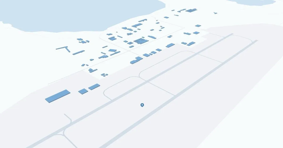
Located in a remote area of Alaska's North Slope, Deadhorse Airport (SCC) serves as a critical lifeline to the Prudhoe Bay oil fields and nearby Arctic communities. The airport primarily serves oil industry workers and residents, and also offers scheduled commercial flights for airlines such as Alaska Airlines that connect this isolated area to Anchorage and Fairbanks. This connectivity is necessary for transportation of personnel and cargo, as well as access to medical facilities. The airport has all the necessary facilities for passenger service and cargo operations. Deadhorse Airport plays a key role in the economic activity of the North Slope, making it indispensable to the region's development and transportation accessibility.
Deadhorse Airport Weather 08/03/2026
Weather Forecast
Tonight
39
Slight Chance Showers
Monday
53
Slight Chance Showers then Showers Likely
Monday Night
44
Showers Likely then Slight Chance Showers

Tuesday
68
Chance Showers
Tuesday Night
48
Chance Showers then Mostly Cloudy

Wednesday
64
Partly Sunny

Wednesday Night
44
Mostly Cloudy
Thursday
59
Partly Sunny
Thursday Night
42
Mostly Cloudy

Friday
57
Chance Showers

Friday Night
42
Chance Showers
Saturday
56
Slight Chance Showers
Saturday Night
43
Slight Chance Showers