Des Moines Airport (DSM) | Terminal maps | Airport guide


Des Moines Airport Information
-
Airport Address:
5800 Fleur Dr, Des Moines, IA 50321, United States -
Official Website:
http://www.dsmairport.com/ -
Contact Number:
(515) 256-5050
DSM Contact Information
-
Name:
MR. KEVIN FOLEY -
Address:
5800 FLEUR DR RM 201 -
Telephone:
(515) 256-5100
Des Moines Airport
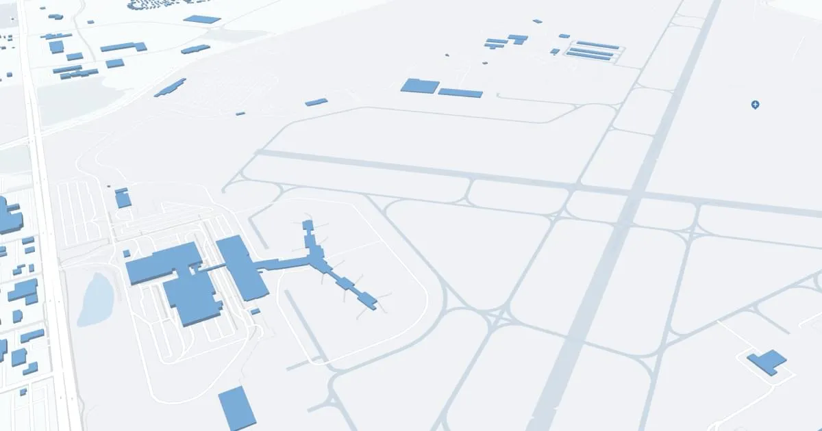
Des Moines International Airport (DSM), located approximately 3 miles southwest of downtown Des Moines, Iowa, is a critical transportation hub for both the capital city and the entire region. The airport is experiencing significant growth, reflecting Des Moines' growing importance as the business and cultural center of the Midwest.
Des Moines is served by a variety of major and regional airlines, including American Airlines, Delta Air Lines, Southwest Airlines, United Airlines, Allegiant Air, Frontier Airlines, and others. These carriers provide passengers with direct flights to major hubs and popular destinations throughout the United States, such as Chicago, Denver, Dallas/Fort Worth, Atlanta, Las Vegas, Phoenix and others. This extensive network of direct flights provides convenient connections for international travel and access to virtually any global destination.
The airport features a state-of-the-art terminal that is designed to ensure a seamless and efficient travel experience. Inside, passengers can enjoy a wide range of amenities designed to meet the needs of travelers. These include a variety of restaurants ranging from quick snacks to full lunches, retail outlets offering everything from books and electronics to local souvenirs, and comfortable lounge areas. The terminal is also equipped with free Wi-Fi, electronic device charging stations and play areas for children, making it convenient for travelers of all ages. For added convenience, Des Moines International Airport offers several parking options, including short-term, long-term and economy parking, all of which are located near the terminal. Ground transportation services such as car rentals, cabs, ride-sharing and public transportation are readily available, providing easy access to and from the airport.
With its strategic location, wide range of services and commitment to passenger satisfaction, Des Moines International Airport plays an important role in facilitating travel and commerce in Iowa, serving as a gateway to the world for residents and visitors to the state.
Des Moines Airport Weather 08/03/2026
Weather Forecast
Today
88
Mostly Sunny

Tonight
68
Partly Cloudy

Tuesday
85
Partly Sunny
Tuesday Night
64
Chance T-storms then Showers

Wednesday
74
Showers

Wednesday Night
61
Chance Showers
Thursday
80
Mostly Sunny

Thursday Night
63
Mostly Clear
Friday
84
Mostly Sunny
Friday Night
66
Mostly Clear

Saturday
88
Sunny
Saturday Night
71
Mostly Clear
Sunday
91
Sunny