Eugene Airport (EUG) | Terminal maps | Airport guide


Eugene Airport Information
-
Airport Address:
28801 Douglas Dr, Eugene, OR 97402, United States -
Official Website:
http://www.eugene-or.gov/index.aspx?nid=173 -
Contact Number:
(541) 682-5430
EUG Contact Information
-
Name:
TIM M. DOLL -
Address:
28855 LOCKHEED DRIVE -
Telephone:
(541) 682-5430
Eugene Airport
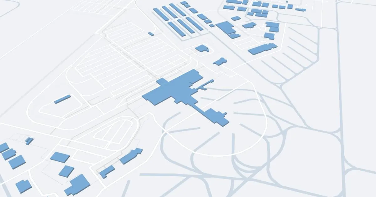
Mahlon Sweet Field Airport (EUG), located in Eugene, Oregon, serves as a critical air transportation hub for the southern Willamette Valley.
This airport provides connections to both locals and commuters, offering direct flights to major centers such as Denver, Los Angeles, San Francisco, Seattle, Phoenix, and Las Vegas. These routes are supported by a number of airlines including Alaska Airlines, American Airlines, Allegiant Air, Delta Air Lines and United Airlines, giving passengers access to a wide network of domestic and international destinations.
The terminal at Mahlon Sweet Field is designed to provide passengers with a seamless and convenient travel experience. Inside the terminal, travelers can take advantage of a variety of amenities to suit their needs. These include restaurants ranging from quick snacks to full lunches, retail outlets for last-minute necessities or souvenirs, and car rentals that make it easy to explore Eugene and the surrounding area. The airport also offers free Wi-Fi throughout the terminal so passengers can stay connected. Parking at EUG is easy: there are options for both short and long-term stays, located in convenient proximity to the terminal.
With its wide range of services and strategic location, Mahlon Sweet Field Airport plays an important role in serving the tourism needs of Oregon's southern Willamette Valley, making it a critical gateway to and from the region.
Eugene Airport Weather 07/25/2026
Weather Forecast
This Afternoon
78
Sunny

Tonight
52
Partly Cloudy

Sunday
81
Becoming Sunny

Sunday Night
49
Mostly Clear
Monday
83
Sunny
Monday Night
51
Mostly Clear

Tuesday
82
Mostly Sunny
Tuesday Night
51
Mostly Clear
Wednesday
83
Mostly Sunny

Wednesday Night
50
Clear
Thursday
85
Sunny
Thursday Night
50
Clear

Friday
87
Sunny