Hilo Airport (ITO) | Terminal maps | Airport guide


Hilo Airport Terminal Guides
View All ITO Guides-
ITO Airport Terminal
Open Guide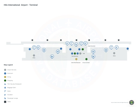
Hilo Airport Information
-
Airport Address:
2450 Kekuanaoa St, Hilo, HI 96720, United States -
Official Website:
http://hawaii.gov/ito -
Contact Number:
(808) 961-9300
ITO Contact Information
-
Name:
STEVEN J. SANTIAGO -
Address:
ASSISTANT AIRPORT DISTRICT MANAGER, 2450 KEKUANAOA STREET #215 -
Telephone:
(808) 961-9300
Hilo Airport
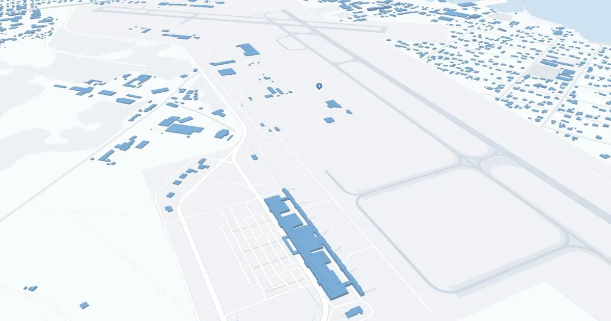
Hilo International Airport (ITO), located on the eastern side of Hawaii's Big Island, serves as a crucial gateway to the lush landscapes and volcanic wonders of the island. It is served by major airlines such as Hawaiian Airlines, Southwest Airlines and United Airlines, offering direct flights to Honolulu, Kahului, Los Angeles and other cities, facilitating access to both inter-island and mainland destinations.
The airport has a terminal equipped with all the necessary amenities to ensure a comfortable travel experience for passengers. These include parking, rental cars for sightseeing on the island and cab services for convenient local transportation. In addition, the terminal has restaurants and retail stores where you can buy souvenirs with your last minute money.
Hilo International Airport is very important to travelers due to its strategic location that provides direct access to Hawaii's natural beauty and cultural attractions, such as Hawaii Volcanoes National Park. It supports the local economy by promoting tourism, one of the island's main economic drivers, and serves as an important transportation hub for residents and visitors alike, providing a link between Hawaii and the mainland United States.
Hilo Airport Weather 07/24/2026
Weather Forecast
Tonight
70
Showers Likely

Friday
83
Scattered Showers

Friday Night
70
Showers Likely
Saturday
83
Showers Likely then Isolated Showers
Saturday Night
70
Showers Likely
Sunday
83
Scattered Showers then Isolated Showers
Sunday Night
71
Showers Likely
Monday
84
Scattered Showers then Isolated Showers

Monday Night
72
Isolated Showers

Tuesday
86
Isolated Showers and Windy

Tuesday Night
73
Scattered Showers and Windy

Wednesday
86
Showers Likely and Windy

Wednesday Night
73
Showers and Breezy